Fog/stratus over Lake Michigan
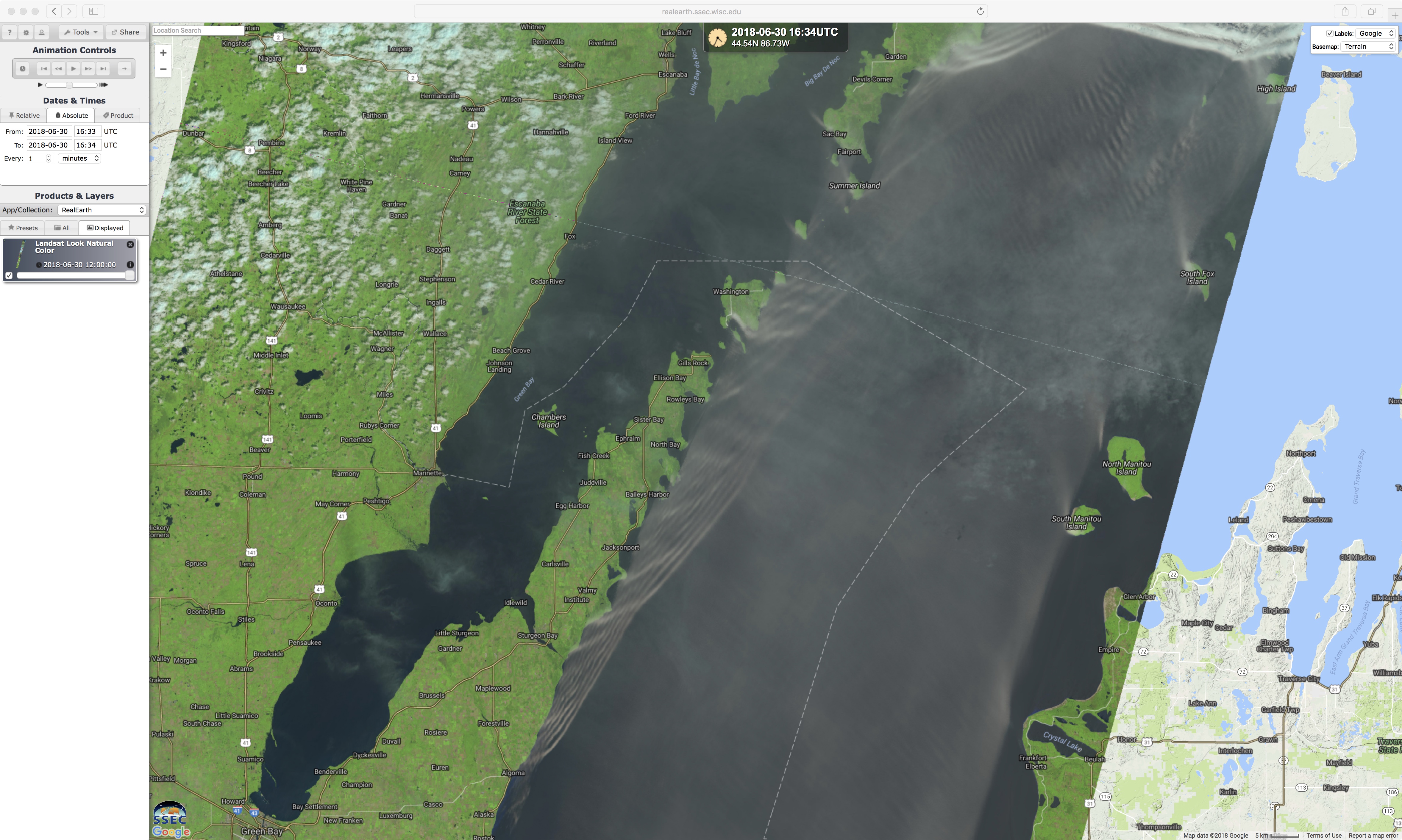
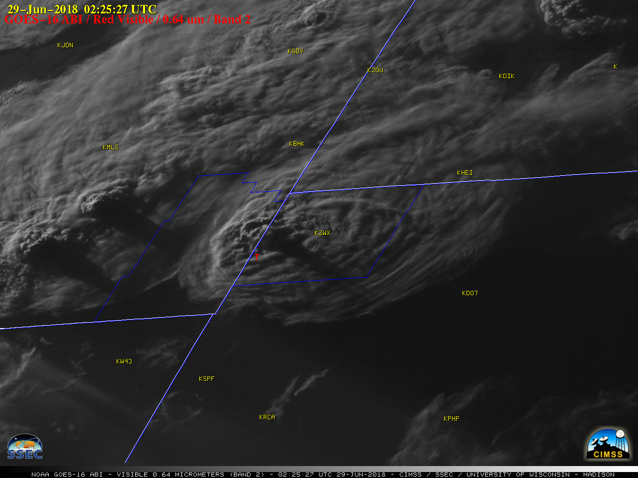
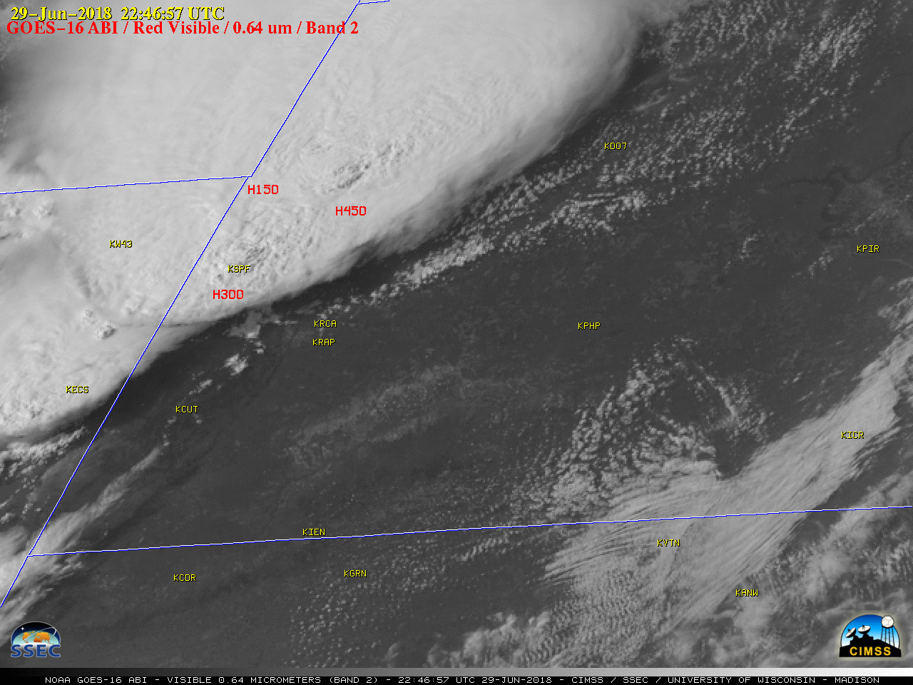
As a warm and very humid air mass (surface analyses) moved northward across the relatively cool waters of Lake Michigan on 30 June 2018, GOES-16 (GOES-East) “Red” Visible (0.64 µm) images (above) revealed complex interactions of the resulting fog/stratus with coastlines and islands — features such as “bow shock waves” and internal reflections of... Read More

