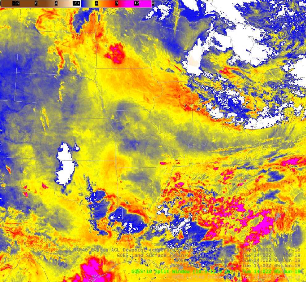
Mesoscale convective system over the Northern Plains
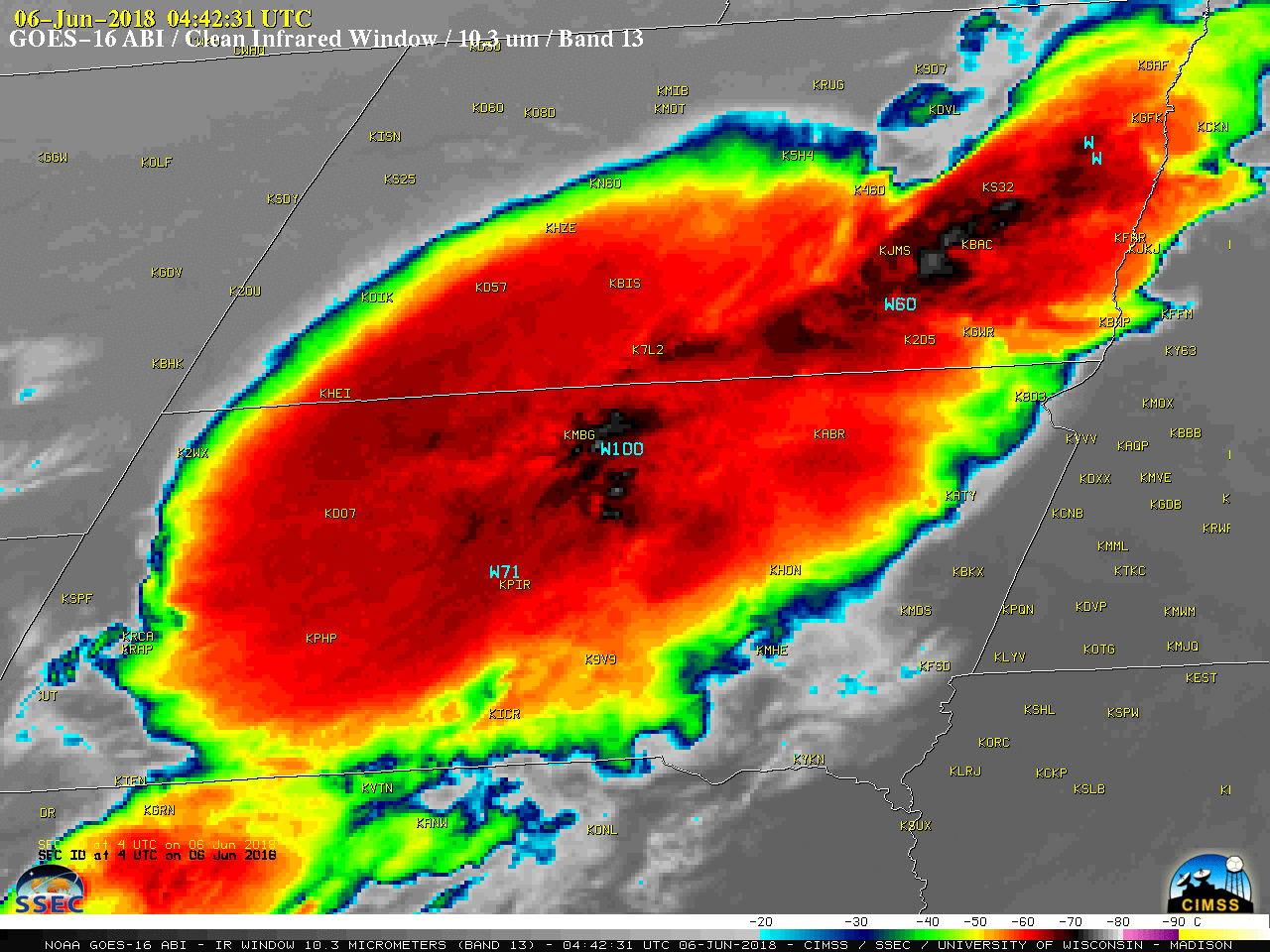
GOES-16 (GOES-East) “Clean” Infrared Window (10.3 µm) images (above) showed showed the development of thunderstorms over the northern Plains late in the evening on 05 June 2018 — these storm clusters exhibited upscale growth and merged into a large Mesoscale Convective System (MCS) over North Dakota and South Dakota during the... Read More