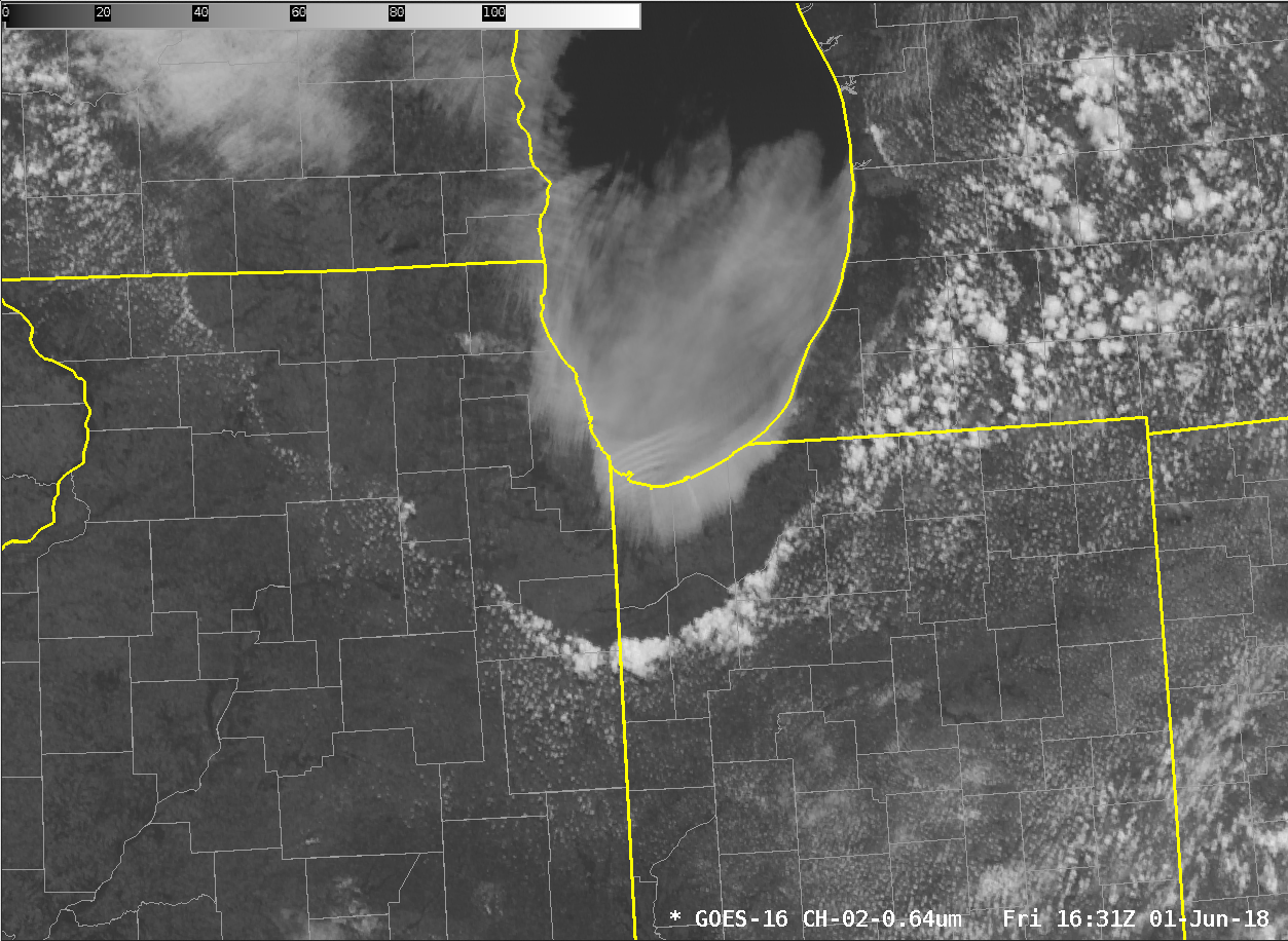
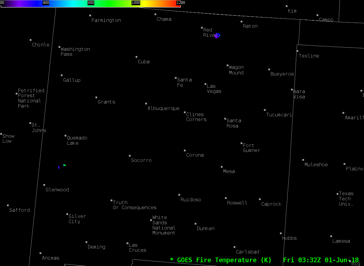
Severe weather in Wyoming, Montana and South Dakota
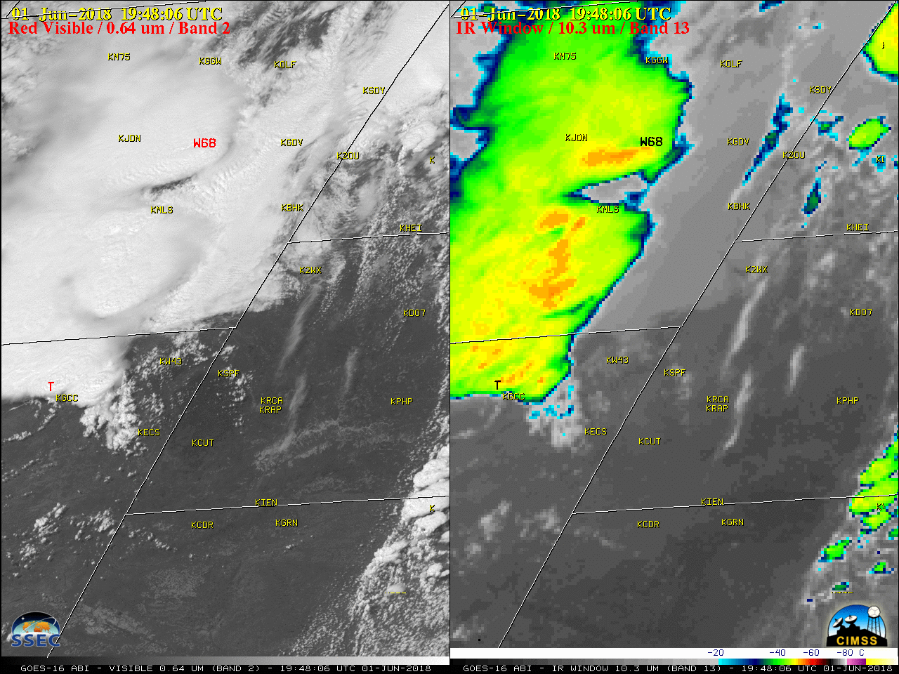
GOES-16 (GOES-East) “Red” Visible (0.64 µm) and “Clean” Infrared Window (10.3 µm) images (above) showed thunderstorms that produced severe weather (SPC storm reports | NWS Rapid City) across parts of Wyoming, Montana and South Dakota on 01 June 2018. The SPC storm reports on the imagery are “parallax-corrected”, such that they are plotted at a location matching the... Read More
