Derecho from the Midwest to the Mid-South
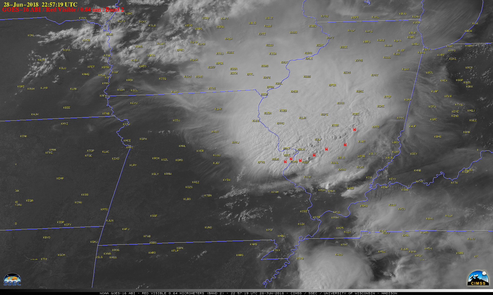
GOES-16 “Red” Visible (0.64 µm) images, with SPC storm reports plotted in red [click to play MP4 animation]
The corresponding GOES-16 “Clean” Infrared Window (10.3 µm) images (below) revealed cold cloud-top infrared brightness temperatures that occasionally reached -80ºC (violet enhancement).
![GOES-16 "Clean" Infrared Window (10.3 µm) images, with SPC storm reports plotted in cyan [click to play MP4 animation]](https://cimss.ssec.wisc.edu/satellite-blog/wp-content/uploads/sites/5/2018/06/G16_IR_MIDWEST_SVR_28JUN2018_1200x2000_B13_2018179_225719_0001PANEL_00132.GIF)
GOES-16 “Clean” Infrared Window (10.3 µm) images, with SPC storm reports plotted in cyan [click to play MP4 animation]
![Suomi NPP VIIRS Infrared Window (11.45 µm) images, with SPC storm reports plotted during the 3 hours preceding the 1844 UTC image [click to enlarge]](https://cimss.ssec.wisc.edu/satellite-blog/wp-content/uploads/sites/5/2018/06/180628_suomi_npp_viirs_infrared_Midwest_MCS_anim.gif)
Suomi NPP VIIRS Infrared Window (11.45 µm) images, with plots of SPC storm reports during the 3 hours preceding the 1844 UTC image [click to enlarge]