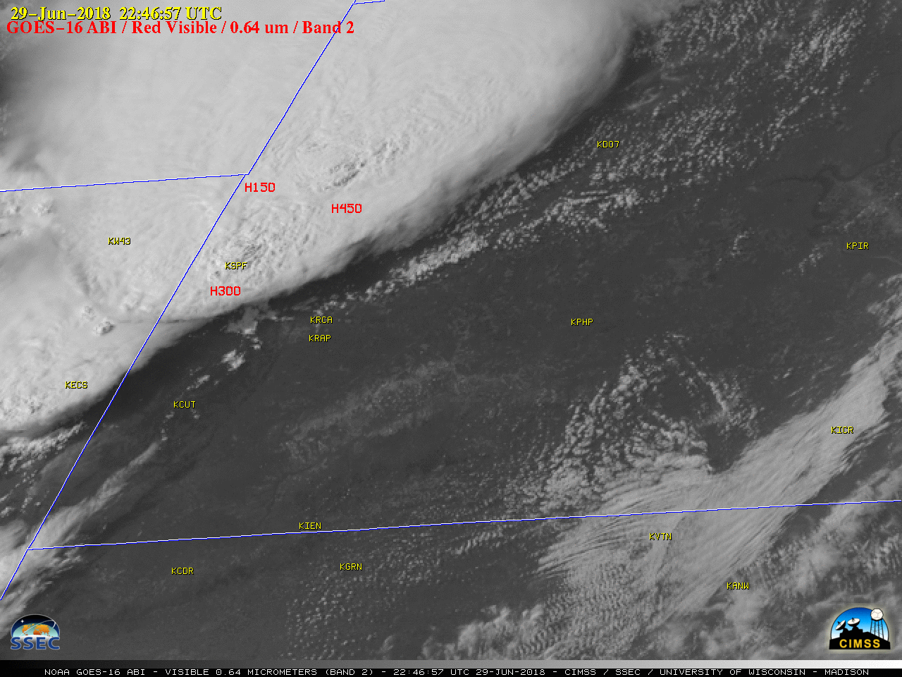
Severe thunderstorms in Wyoming and South Dakota

1-minute Mesoscale Domain Sector GOES-16 (GOES-East) “Red” Visible (0.64 µm) images (above) showed the development of large clusters of thunderstorms that moved from northeastern Wyoming into South Dakota during the afternoon and evening hours on 29 June 2018. These storms produced a variety of severe weather (SPC storm reports | NWS Rapid City), including tornadoes, hail of 4.50 inches in... Read More


