Severe weather across southeastern Idaho

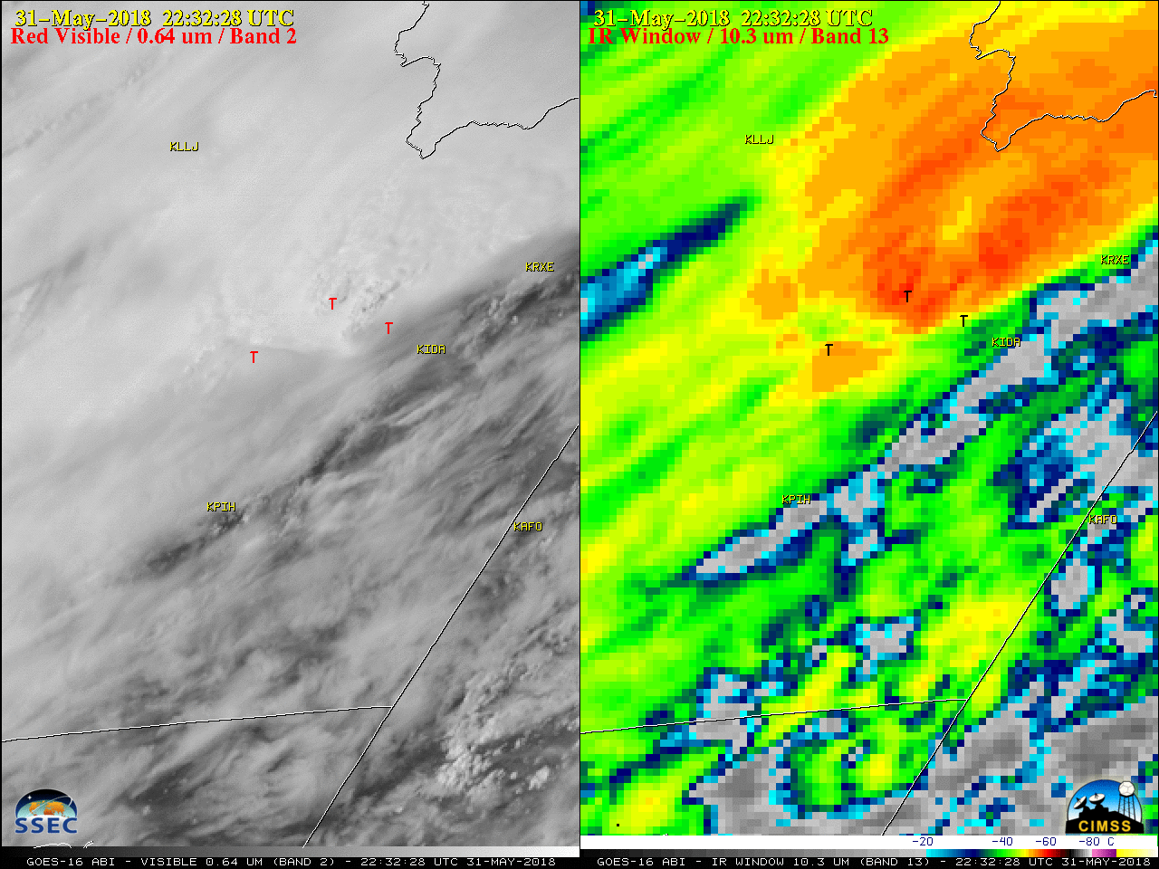
GOES-16 (GOES-East) “Red” Visible (0.64 µm) and “Clean” Infrared Window (10.3 µm) images (above) showed thunderstorms which produced hail, damaging winds and tornadoes (SPC storm reports) across southeastern Idaho on 31 May 2018. Note that after 2102 UTC a pronounced “enhanced-v” infrared storm top signature was exhibited by the larger supercell which produced most of the... Read More


