GOES-16 Mesoscale Sectors
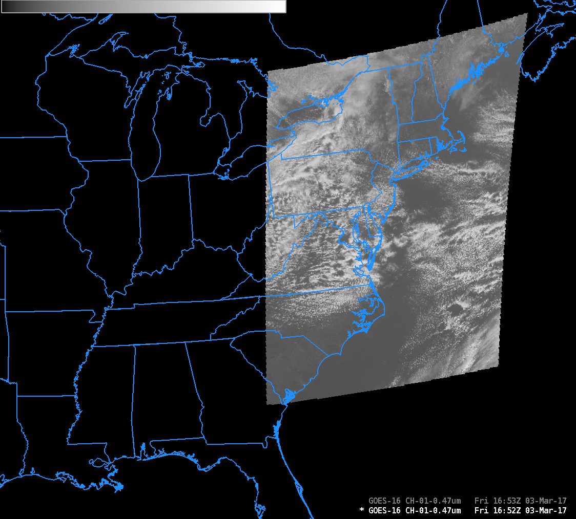
GOES-16 ABI Default Mesoscale Domains, shown with Band 1 Visible (0.47 µm) and Band 5 Snow/Ice (1.61 µm) data (Click to enlarge)
Note: GOES-16 data shown on this page are preliminary, non-operational data and are undergoing on-orbit testing.
GOES-16 ABI Flex Mode (Mode 3) scanning affords the opportunity of two moveable mesoscale sectors that are 1000×1000 km in size at the sub-satellite point. These sectors are scanned every 60 seconds. After post-launch testing is complete this summer, a National Weather Service (NWS) Weather Forecast Office (WFO) or a National Center (SPC, or NHC, for example), can request that the Mesoscale domain be moved to sample a region or feature of interest. If no requests are active, then default positions, shown above for GOES-16 in the Test Position at 89.5º W, are used. These defaults were selected because they overlay major air corridors.
When GOES-16 and GOES-S (operating as GOES-17) are operational, four different Mesoscale Sectors will be available. The Default positions for Mesoscale Sectors are shown below.

Dashed red Boxes indicate the default positions of Mesoscale Domains when GOES-16 and GOES-17 are operational. Blue shading shows approximate infrared pixel sizes. (Click to enlarge)