GOES-16 “Red” Visible (0.64 µm, left) and “Clean” Infrared Window (10.3 µm, right) images, with plots of SPC storm reports [click to play MP4 animation]
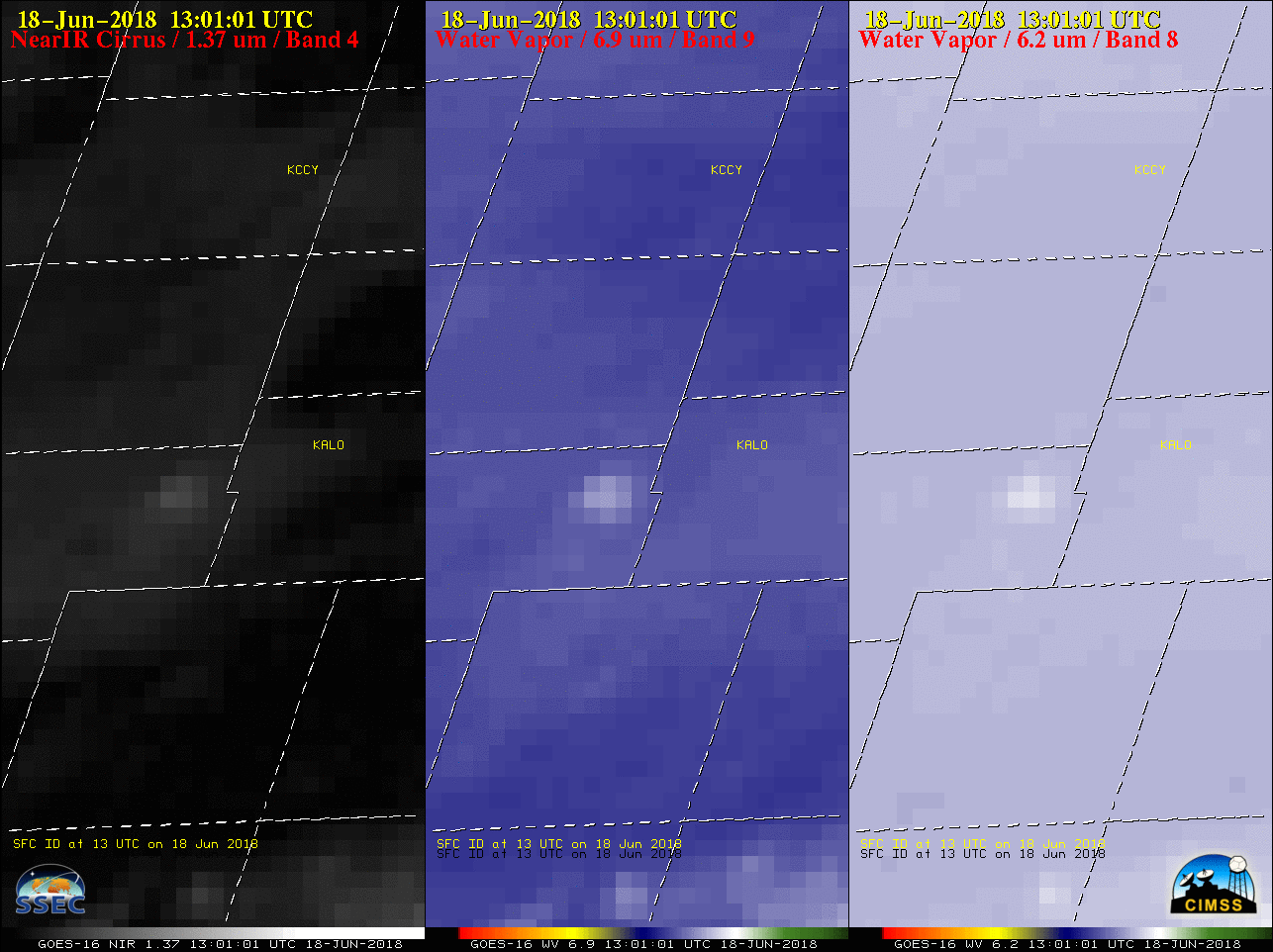
Large hail in north central Colorado
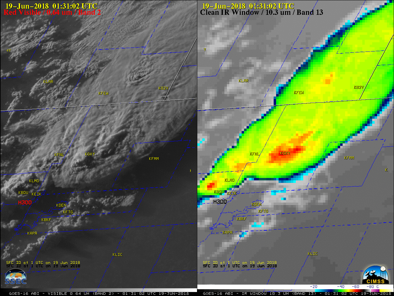
June 18th, 2018 | Scott BachmeierHigh cloud shadow over eastern Iowa
June 18th, 2018 | Scott Bachmeier@CIMSS_Satellite: Any idea what the relatively small, darker area/depression was going over Grundy County (west of Waterloo) from 1232z to 1342z? Most prevalent at 1312z. Shows up in all GOES bands. Channel 7 also shows a corresponding darker area just north of that area.
— Andrew Ansorge (@ajsorge) June 18, 2018
It’s always good to get a question that lends itself well to the “What the heck is this?” blog category. The answer, as is often the case, relies on an examination of imagery from a variety of GOES-16 ABI bands. To begin, note the darker feature seen on 1-minute Mesoscale Domain Sector GOES-16 “Blue” Visible (0.47 µm), “Red” Visible (0.64 µm) and Near-Infrared “Vegetation” (0.86 µm) images (below), which was moving northeastward across eastern Iowa and passing just to the west of Waterloo (KALO) on the morning of 18 June 2018.
GOES-16 “Blue” Visible (0.47 µm, left), “Red” Visible (0.64 µm, center) and Near-Infrared “Vegetation” (0.86 µm, right) images [click to play animation | MP4]
GOES-16 Near-Infrared “Cirrus” (1.37 µm, left), Mid-level Water Vapor (6.9 µm, center) and Upper-level Water Vapor (6.2 µm, right) images [click to play animation | MP4]
GOES-16 Near-Infrared “Cirrus” (1.37 µm, left), Shortwave Infrared (3.9 µm, center) and “Clean” Infrared Window (10.3 µm, right) images [click to play animation | MP4]
Lava flows continue from Kilauea’s Lower East Rift Zone
June 18th, 2018 | Scott Bachmeier![NOAA-20 VIIRS Day/Night Band (0.7 µm), Shortwave Infrared I04 (3.75 µm), Shortwave Infrared M13 (4.05 µm) and Longwave Infrared (11.45 µm) images [click to enlarge]](http://cimss.ssec.wisc.edu/satellite-blog/wp-content/uploads/2018/06/180618_1225utc_noaa20_DayNightBand_ShortwaveInfrared_LongwaveInfrared_Kilauea_HI_anim.gif)
NOAA-20 VIIRS Day/Night Band (0.7 µm), Shortwave Infrared I04 (3.75 µm), Shortwave Infrared M13 (4.05 µm) and Longwave Infrared (11.45 µm) images [click to enlarge]
Note how the central ribbon of hottest lava flow (which continues its active ocean entry) saturated the I04 3.75 µm image, causing a “wrap-around” effect to display cold brightness temperatures (white pixels) — although the M13 4.05 µm band has a lower spatial resolution, it saturates at much higher temperatures, and sensed brightness temperatures in the 480 to 557 K range. The Infrared images also showed evidence of steam clouds flowing southward over the adjacent offshore waters.
A webcam image from near Kapoho (PGcam) around the time of the NOAA-20 VIIRS images is shown below. The active Fissure 8 is near the center of the image.
![Webcam image from near Kapoho [click to enlarge]](http://cimss.ssec.wisc.edu/satellite-blog/wp-content/uploads/2018/06/180618_1225utc_webcam_Kapoho.png)
Webcam image from near Kapoho [click to enlarge]