Mesoscale convective system over the Northern Plains
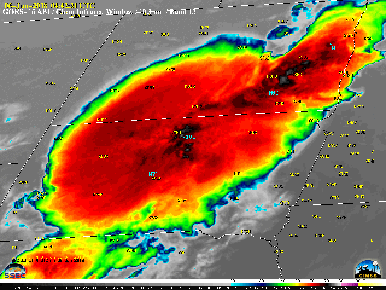
GOES-16 “Clean” Infrared Window (10.3 µm) images, with plots of SPC storm reports [click to play MP4 animation]
A 1-km resolution Terra MODIS Infrared Window (11.0 µm) is shown below, with with plots of SPC storm reports that occurred within +/- 1 hour of the image. The coldest storm-top infrared brightness temperatures on the image were -77ºC in eastern North Dakota and central South Dakota.
![Terra MODIS Infrared Window (11.0 µm) image, with SPC storm reports [click to enlarge]](https://cimss.ssec.wisc.edu/satellite-blog/wp-content/uploads/sites/5/2018/06/180606_0445utc_terra_modis_infrared_spc_storm_reports_anim.gif)
Terra MODIS Infrared Window (11.0 µm) image, with SPC storm reports [click to enlarge]