What has the Large Iceberg (A68) been up to this year?
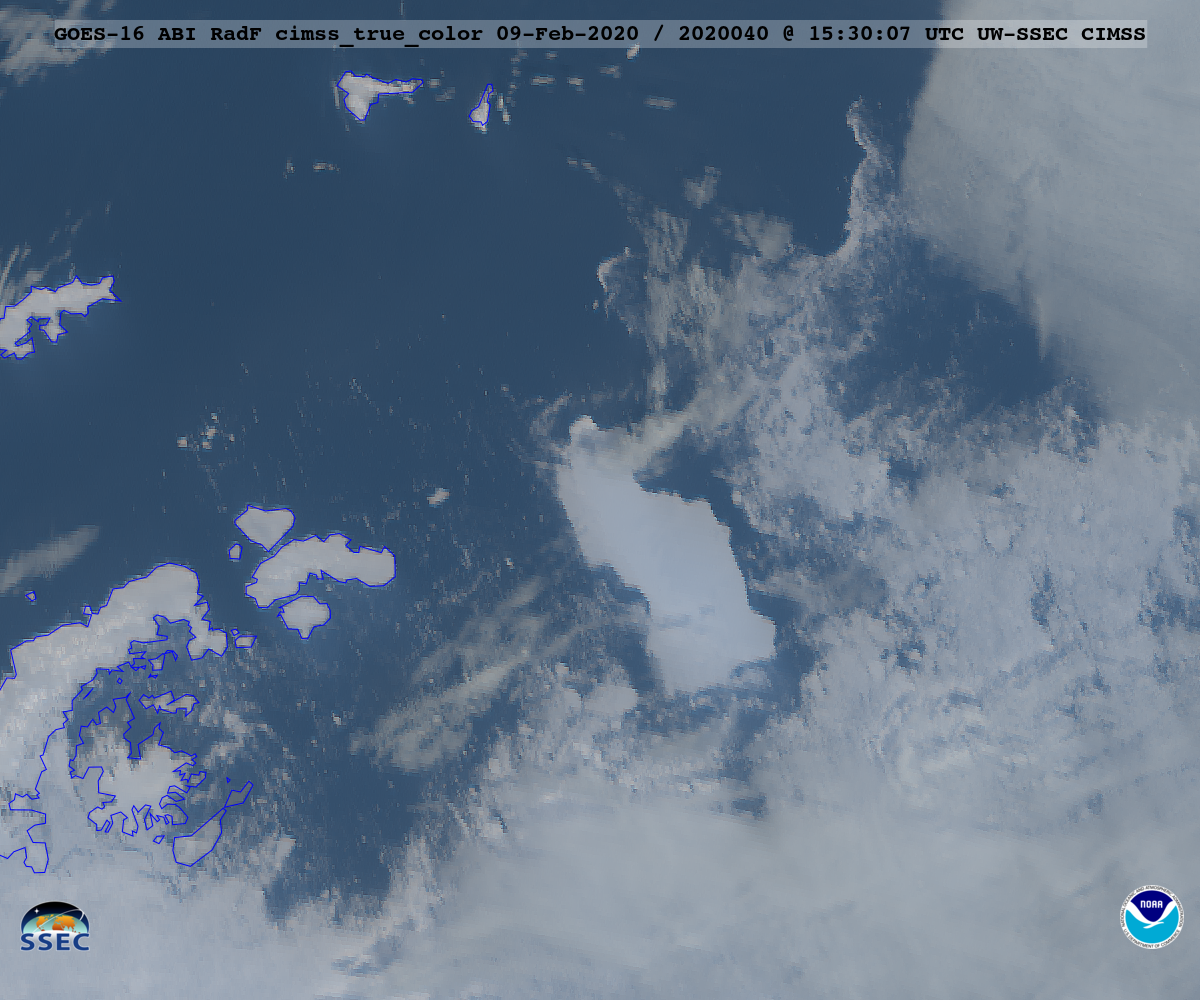
A very large iceberg broke off the Larsen-C Ice Shelf on the Antarctic Peninsula in July 2017 (recall this CIMSS Satellite Blog post). While NOAA’s GOES-16 ABI visible sensors may not be ideal, they can monitor the iceberg’s location if the cloud cover is not too thick. The animation above shows the first 31 days... Read More
