Year-long Animations of Visible and Infrared Images
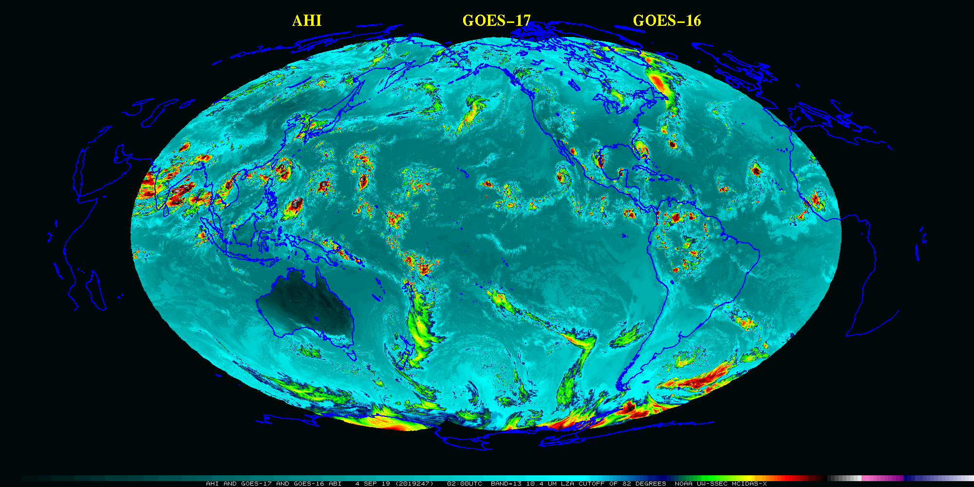
A previous blog post (here) has shown 1-month animations of true-color visible imagery from geostationary satellites (GOES-16, GOES-17, Himawari-8, Meteosat-11 and others) wherein local noon longitudinal strips are blended together to create a global view. (Imagery courtesy Rick Kohrs, SSEC) (See also this blog post for an explanation). The animation above (Click... Read More
