Severe weather outbreak across the central US

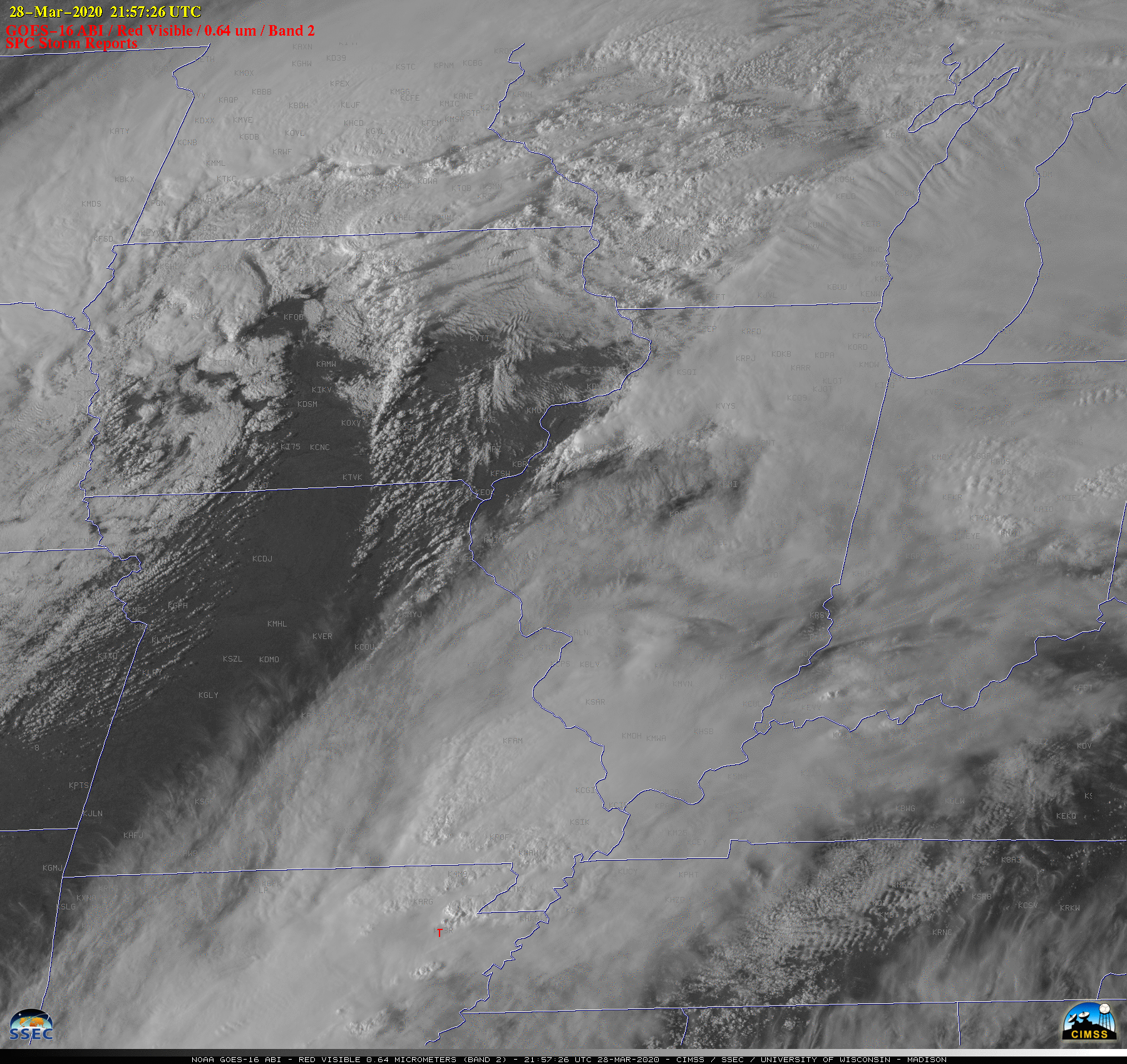
GOES- 16 “Red” Visible (0.64 µm) images, with time-matched (+/- 4 minutes) SPC Storm Reports plotted in red [click to play animation | MP4]
The corresponding GOES-16 “Clean” Infrared Window (10.35 µm) images are shown below. The coldest cloud-top infrared brightness temperatures were in the -60 to -70ºC range (red to black enhancement). The most significant tornado produced EF-3 damage as it moved through Jonesboro, Arkansas beginning at 2157 UTC.
![GOES- 16 "Clean" Infrared Window (10.35 µm) images, with time-matched SPC Storm Reports plotted in purple [click to play animation | MP4]](https://cimss.ssec.wisc.edu/satellite-blog/images/2020/03/200328_goes16_infrared_spcStormReports_Midwest_anim.gif)
GOES- 16 “Clean” Infrared Window (10.35 µm) images, with time-matched (+/- 4 minutes) SPC Storm Reports plotted in purple [click to play animation | MP4]
![Suomi NPP VIIRS Visible (0.64 µm) image with plots of available NUCAPS soundings + Gridded NUCAPS CAPE [click to enlarge]](https://cimss.ssec.wisc.edu/satellite-blog/images/2020/03/200328_1906utc_suomiNPP_viirs_visible_nucapsCAPE_anim.gif)
Suomi NPP VIIRS Visible (0.64 µm) image with plots of available NUCAPS soundings + Gridded NUCAPS CAPE [click to enlarge]
![Plot of 19 UTC rawinsonde data from Little Rock, Arkansas [click to enlarge]](https://cimss.ssec.wisc.edu/satellite-blog/images/2020/03/200328_19utc_klzk_raob.png)
Plot of 19 UTC rawinsonde data from Little Rock, Arkansas [click to enlarge]