30-second imagery of severe thunderstorms across Montana
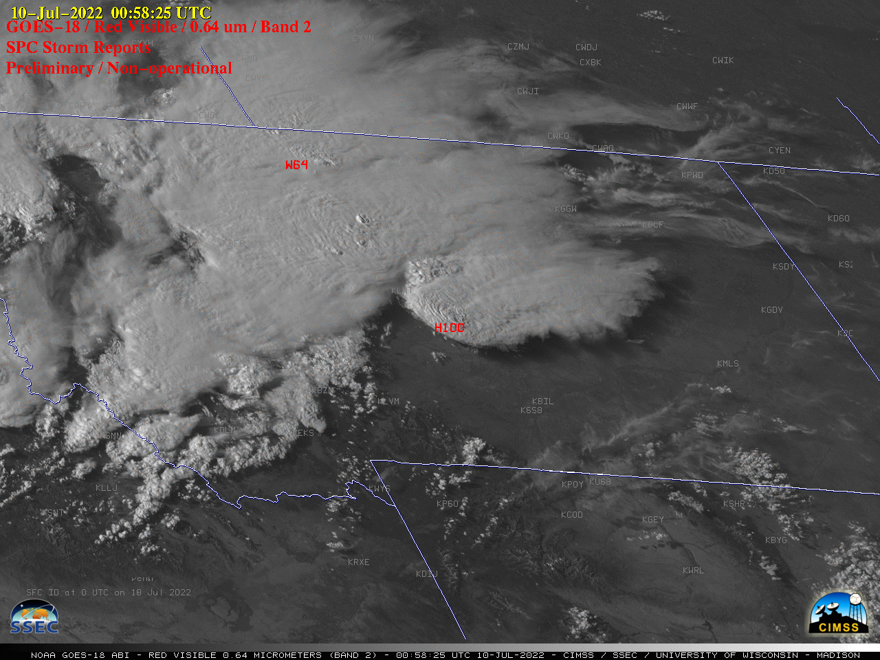
GOES-18 images in this blog post are preliminary and non-operational Overlapping 1-minute Mesoscale Domain Sectors provided GOES-18 “Red” Visible (0.64 µm) images at 30-second intervals (above), which include time-matched SPC Storm Reports. This imagery showed widespread thunderstorms that moved eastward across Montana on 09 July 2022, which produced damaging straight-line winds as strong as 78... Read More
