Severe thunderstorms across the Upper Midwest
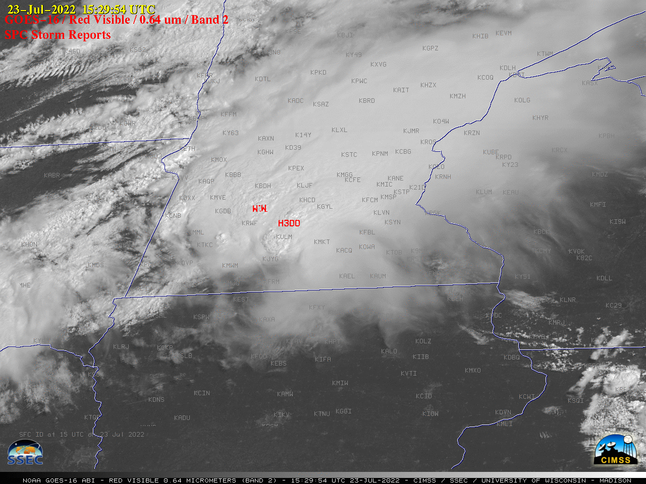
1-minute Mesosca’le Domain Sector GOES-16 (GOES-East) “Red” Visible (0.64 µm) images (above) include plots of time-matched SPC Storm Reports — and showed a Mesoscale Convective System that moved east-southeastward across parts of South Dakota, Minnesota and Wisconsin on 23 July 2022.GOES-16 “Clean” Infrared Window (10.35 µm) images (below) indicated that the coldest overshooting tops exhibited infrared... Read More
