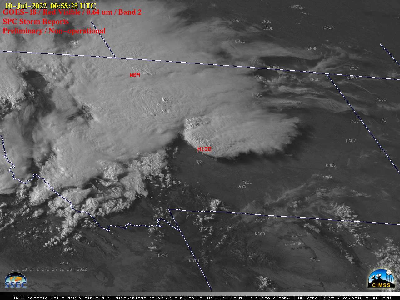
30-second imagery of severe thunderstorms across Montana

GOES-18 “Red” Visible (0.64 µm) images, with time-matched SPC Storm Reports plotted in red [click to play animated GIF | MP4]
GOES-18 images in this blog post are preliminary and non-operational
Overlapping 1-minute Mesoscale Domain Sectors provided GOES-18 “Red” Visible (0.64 µm) images at 30-second intervals (above), which include time-matched SPC Storm Reports. This imagery showed widespread thunderstorms that moved eastward across Montana on 09 July 2022, which produced damaging straight-line winds as strong as 78 mph and hail as large as 2.00 inches.
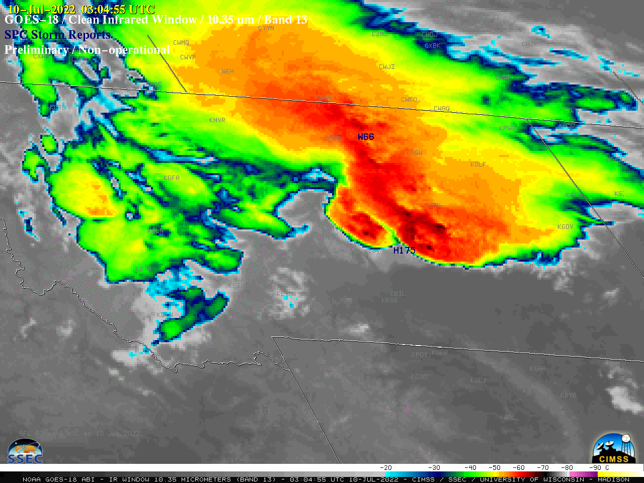
30-second GOES-18 “Clean” Infrared Window (10.35 µm) images (below) extended for several hours past sunset, and indicated that the coldest overshooting tops exhibited infrared brightness temperatures around -70ºC (darker black enhancement). Given that the radar at NWS Glasgow was out of service (due to a lightning strike the previous night), this type of 30-second GOES imagery could have served as a valuable source of information to help monitor thunderstorm evolution.

GOES-18 “Clean” Infrared Window (10.35 µm) images, with time-matched SPC Storm Reports plotted in blue [click to play animated GIF | MP4]

