This website works best with a newer web browser such as Chrome, Firefox, Safari or Microsoft Edge. Internet Explorer is not supported by this website.

Archive: May 2022

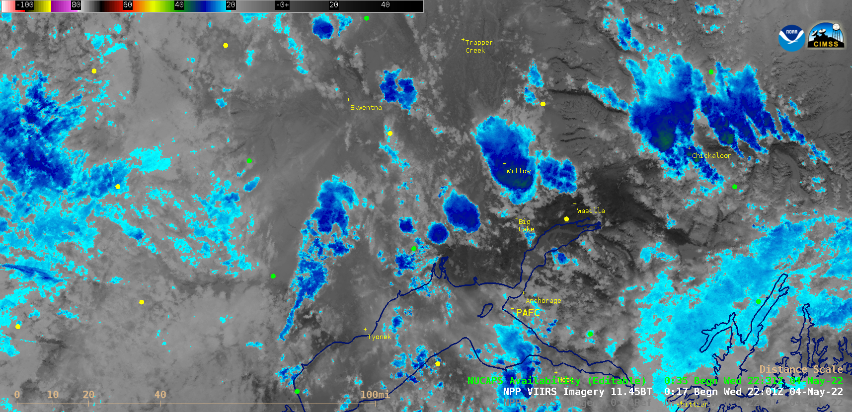
First thunderstorm of the season in the Anchorage, Alaska area

First thunderstorms of the year around here. @DaveSnider @capture907 @AlaskaWx pic.twitter.com/xeMhNiLSiU— Brian Brettschneider (@Climatologist49) May 5, 2022 1-minute Mesoscale Domain Sector GOES-17 (GOES-West) “Red” Visible (0.64 µm) images (above) showed these isolated thunderstorms as they moved north-northwestward up the Susitna Valley (northwest of Anchorage).In the corresponding 1-minute GOES-17 “Clean” Infrared Window... Read More

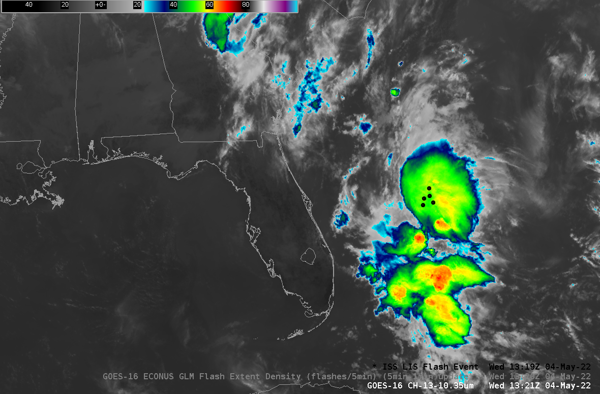
Comparisons of LIS and GLM Lightning observations

The Geostationary Lightning Mapper (GLM) on GOES-16 and the Lightning Imaging Sensor (LIS, additional information here) on the International Space Station (ISS) both observe lightning. The GLM has nadir resolution of approximately 8 km, and is in geostationary orbit, about 36000 km above the Earth’s surface. In contrast, the LIS... Read More

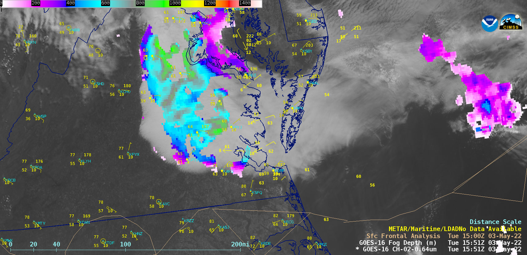
Persistent fog/stratus across eastern Virginia

1-minute Mesoscale Domain Sector GOES-16 (GOES-East) “Red” Visible (0.64 µm) images (above) showed abroad arc of fog/stratus that persisted for much of the day across parts of eastern Virginia, Chesapeake Bay and the Delmarva Peninsula on 03 May 2022. Since this fog/stratus deck — which was on the cold side... Read More