This website works best with a newer web browser such as Chrome, Firefox, Safari or Microsoft Edge. Internet Explorer is not supported by this website.

Archive: Wed May 2022

Severe thunderstorms across the Upper Midwest

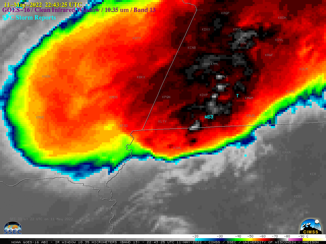
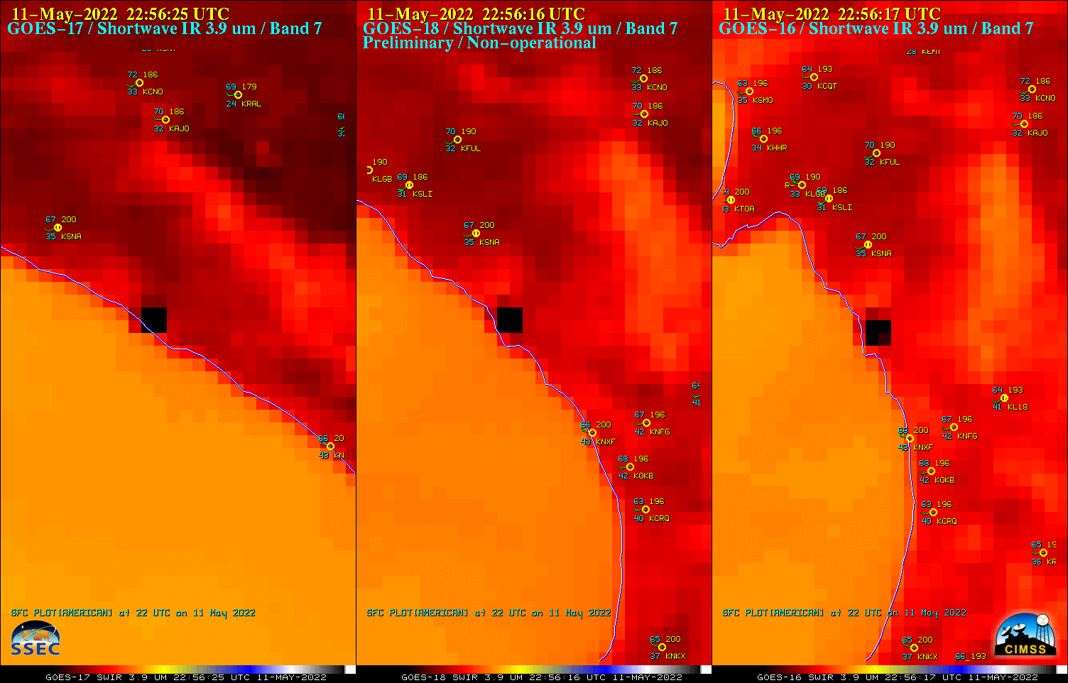
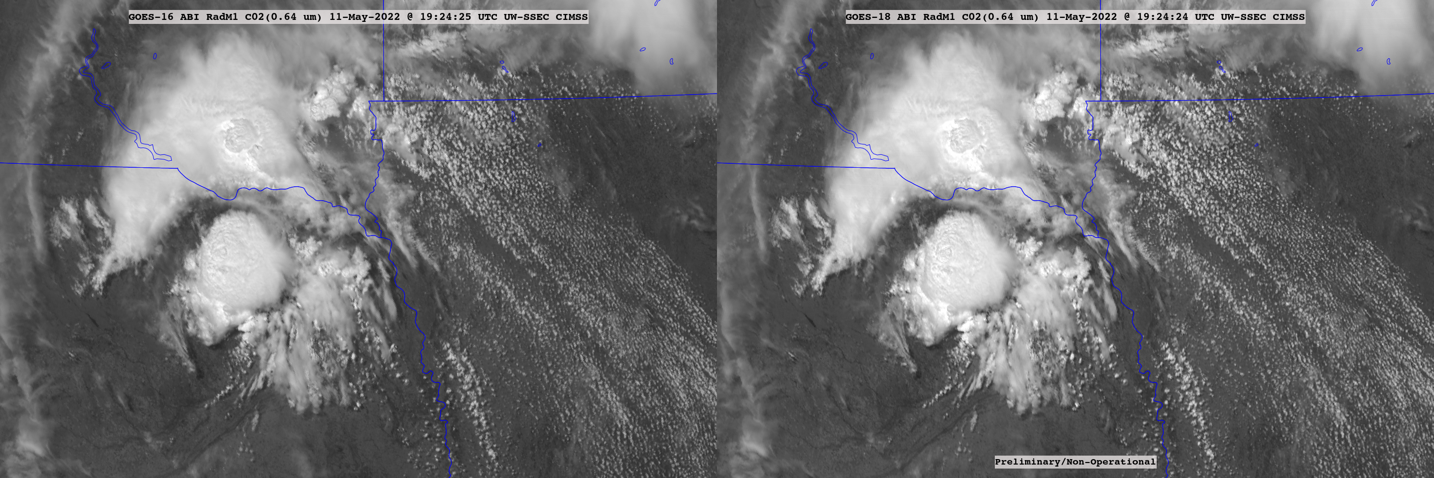
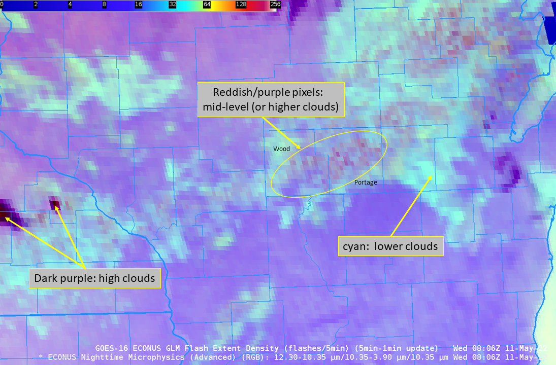
1-minute Mesoscale Domain Sector GOES-16 (GOES-East) “Red” Visible (0.64 µm) images (above) include time-matched SPC Storm Reports — and showed some of the widespread severe weather that occurred across the Upper Midwest during the afternoon and early evening hours on 11 May 2022. Numerous pulsing overshooting tops were apparent in the vicinity of most storm reportsThe corresponding 1-minute GOES-16 “Clean”... Read More

Using the Night Microphysics RGB and LightningCast probabilities to anticipate nighttime convection and Lightning

The Nighttime Microphysics RGB, above, over central Wisconsin (that’s Green Bay at the northeastern edge, and southeast Minnesota/northeast Iowa over the southwestern part, of the animation), shows a field of low clouds stretching west-southwest to east-northeast. Note however, the occasional appearance of redder pixels within the field (as shown in... Read More