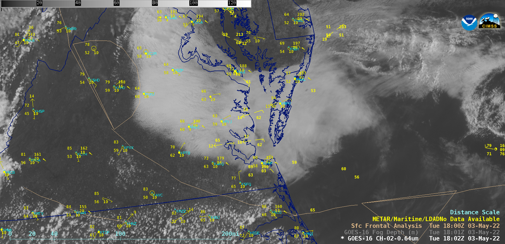
Persistent fog/stratus across eastern Virginia

GOES-16 “Red” Visible (0.64 µm) images [click to play animated GIF | MP4]
Afternoon thunderstorms reached strong to severe levels as they approached the frontal boundary, producing 1-inch diameter hail and damaging winds (SPC Storm Reports).
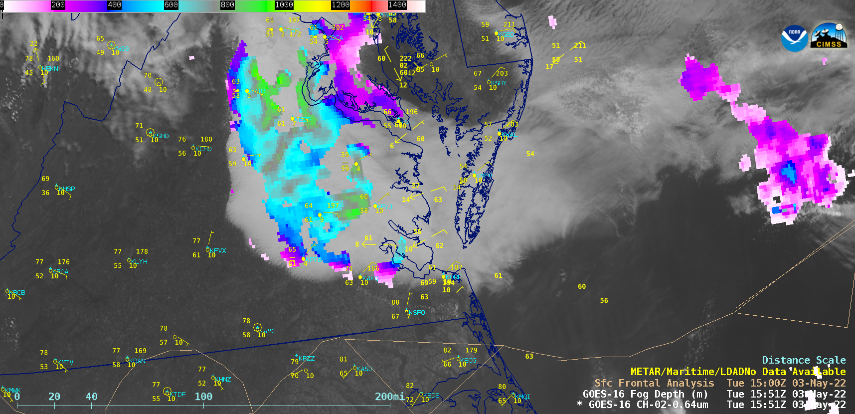
1-minute GOES-16 Visible images with overlays of the 5-minute GOES-16 Fog Depth product (below) provided an estimate of the fog/stratus deck thickness, helping to highlight which portions might be slower to dissipate.

GOES-16 “Red” Visible (0.64 µm) images, with an overlay of the GOES-16 Fog/Stratus Depth product [click to play animated GIF | MP4]

