Marco becomes a hurricane in the Gulf of Mexico
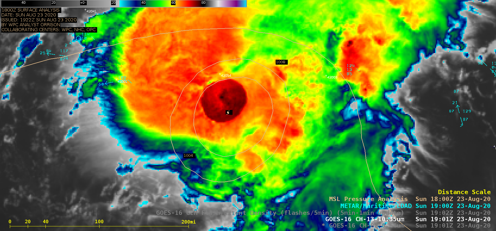
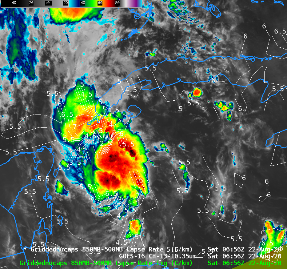
1-minute Mesoscale Domain Sector GOES-16 (GOES-East) “Red” Visible (0.64 µm) and “Clean” Infrared Window (10.35 µm) images — with and without an overlay of GLM Flash Extent Density (above) showed Marco as it intensified from a Tropical Storm to a Category 1 hurricane at 1630 UTC on 23 August 2020. A pronounced semi-circular convective burst was seen to develop near the storm... Read More
