Long-range transport of California wildfire smoke across the Upper Midwest
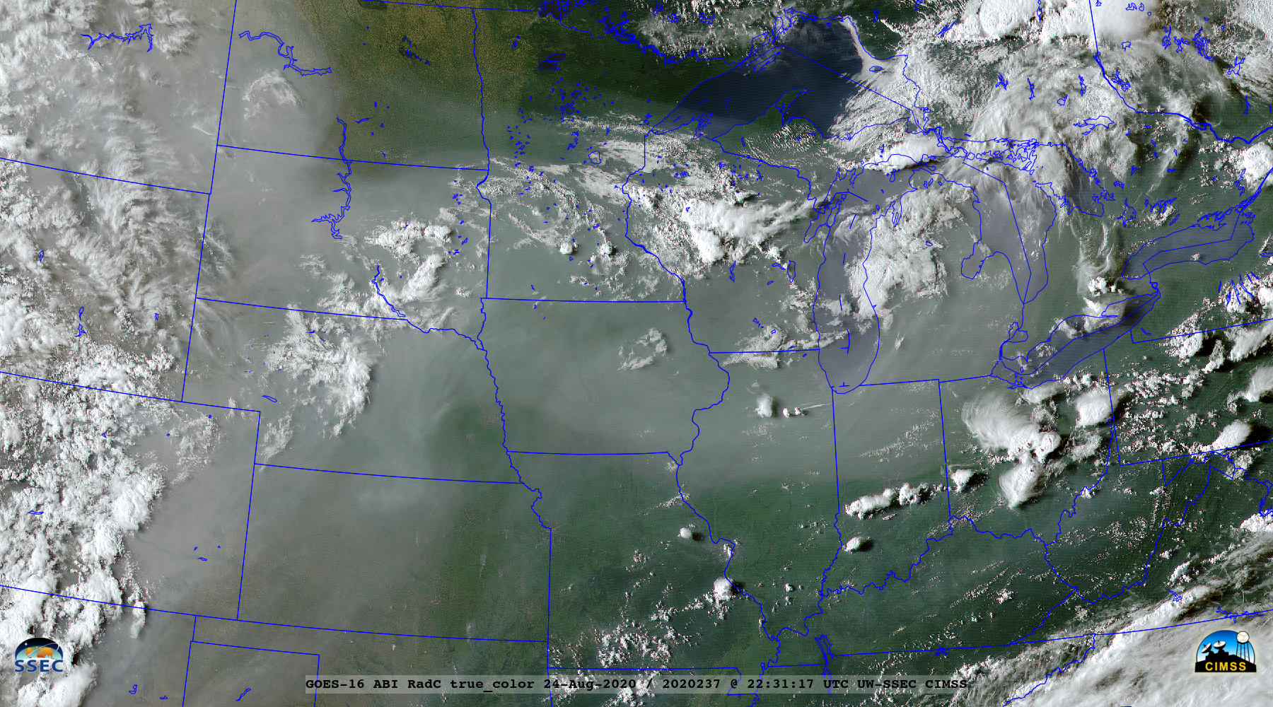
GOES-16 (GOES-East) True Color Red-Green-Blue (RGB) images created using Geo2Grid (above) revealed the hazy signature of dense smoke aloft moving eastward across much of the Upper Midwest on 24 August 2020 — smoke that had been transported from large wildfires burning in California.Images of 532 nm and 1064 nm lidar attenuated backscatter... Read More
