Wildfires burning across northern California
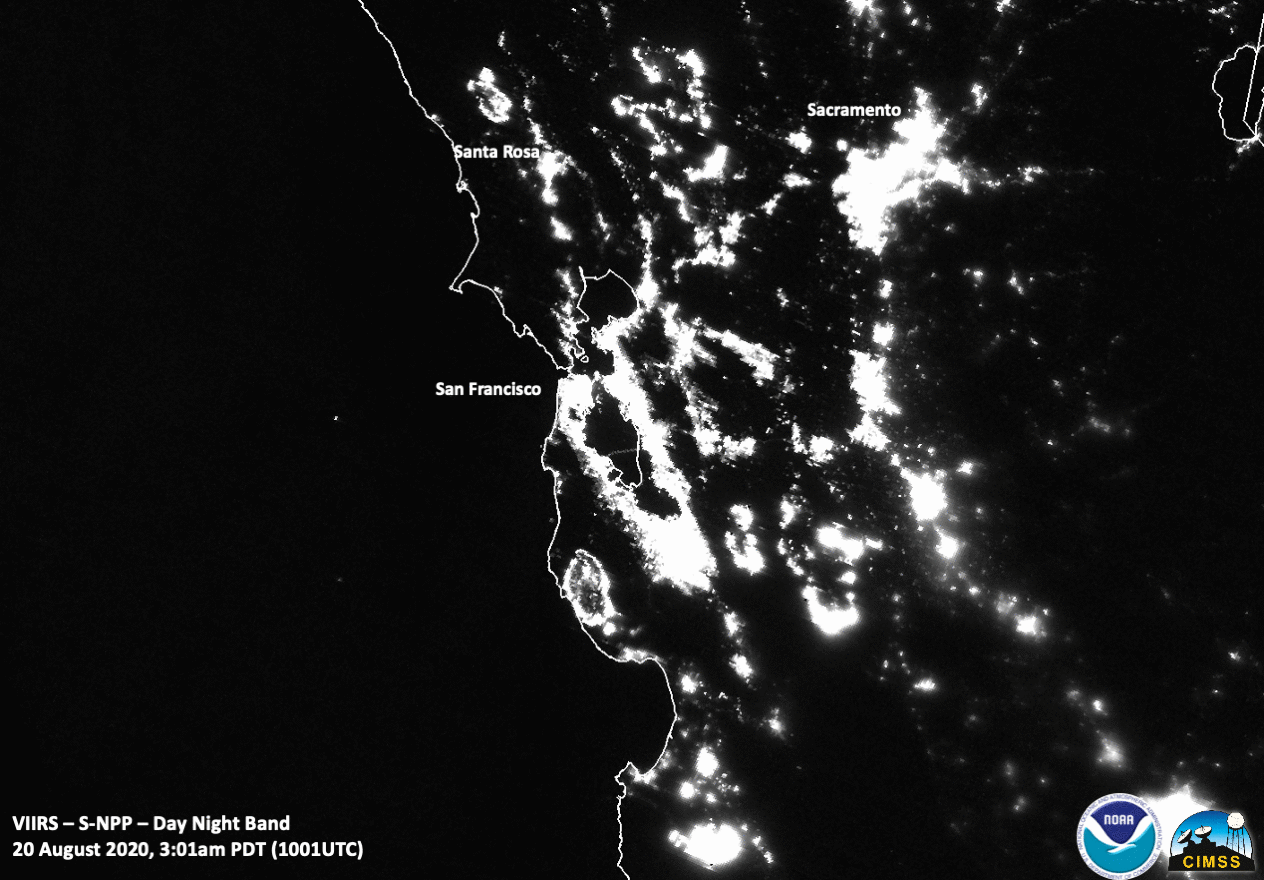
![Suomi NPP VIIRS Day/Night Band (0.7 µm) and Near-Infrared (1.61 µm and 2.25 µm) images along with the VIIRS Active Fires product (credit: William Straka, CIMSS) [click to enlarge]](https://cimss.ssec.wisc.edu/satellite-blog/images/2020/08/200820_1002utc_suomiNPP_viirs_dayNightBand_shortwaveInfrared_nearInfrared_viirsAcitiveFires_Northern_CA_anim.gif)
Suomi NPP VIIRS Day/Night Band (0.7 µm) and Near-Infrared (1.61 µm and 2.25 µm) images along with the VIIRS Active Fires product (credit: William Straka, CIMSS) [click to enlarge]
1-minute Mesoscale Domain Sector GOES-17 (GOES-West) Fire Temperature Red-Green-Blue (RGB) and “Red” Visible (0.64 µm) images (below) displayed the thermal signatures and smoke plumes associated with the Northern California fires.
![GOES-17 Fire Temperature RGB and "Red" Visible (0.64 µm) images [click to play animation | MP4]](https://cimss.ssec.wisc.edu/satellite-blog/images/2020/08/200820_goes17_fireTemperatureRGB_visible_CA_wildfires_anim.gif)
GOES-17 Fire Temperature RGB and “Red” Visible (0.64 µm) images [click to play animation | MP4]
![GOES-17 True Color RGB images [click to play animations | MP4]](https://cimss.ssec.wisc.edu/satellite-blog/images/2020/08/200820_goes17_trueColorRGB_CA_wildfire_smoke_zoom_anim.gif)
GOES-17 True Color RGB images [click to play animations | MP4]