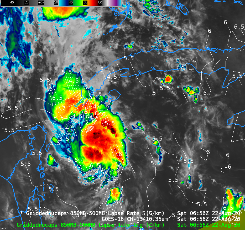
NUCAPS diagnoses of stable air near Tropical Storm Marco
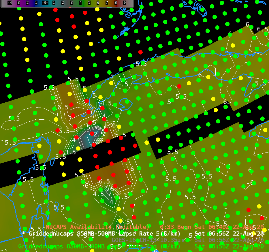
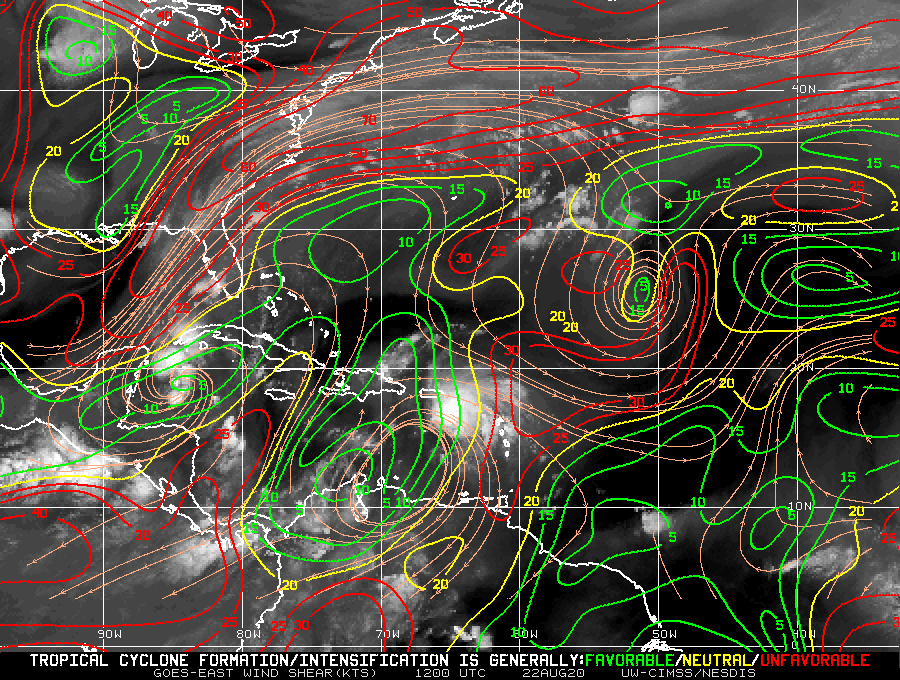
Tropical Storm Marco over the northwest Caribbean Sea, shown above in a toggle of GOES-16 ABI Clean window imagery (10.3 µm) and a NUCAPS diagnosis of 850-500mb lapse rates, is over very warm waters and in a region of favorably low diagnosed vertical wind shear. (Wind shear is from this website, (direct link to shear); the product is described here) An inhibiting feature in strengthening, as noted in the National Hurricane Center discussion, is stable... Read More
