")
GOES-13 10.7 µm IR images (click image to play animation)
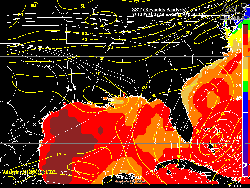
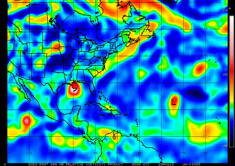
A thunderstorm complex over the northern Gulf of Mexico on the morning of September 5th is being monitored for tropical development. This cluster originated as a mesoscale convective system that emerged from the southern edge of Isaac’s decaying circulation, as shown in the animation above. The animation, starting from Isaac’s landfall over the Mississippi Delta on 29 August, shows a complex developing over northern Alabama on 3 September and dropping southward through that state on 4 September, emerging into the Gulf on 5 September. An analysis of wind shear and Sea Surface Temperatures (taken from the CIMSS Tropical Weather Website) suggests that the system is moving into an environment favorable for strengthening. A loop of 850-mb vorticity also shows the evolution of the system, and the piece of Isaac that breaks off and heads back to the Gulf of Mexico.
Further information on this system is available from the National Hurricane Center.
View only this post Read Less


")


