This website works best with a newer web browser such as Chrome, Firefox, Safari or Microsoft Edge. Internet Explorer is not supported by this website.

Large hail and damaging wind event across the Upper Midwest region

Severe thunderstorms produced a long swath of large hail and damaging winds (SPC storm reports) across much of the Upper Midwest region from eastern South Dakota to northwestern Wisconsin on 01 July 2011. In addition, there were tornadoes that produced EF-1 and EF-2 damage in southwestern Minnesota (NWS Sioux... Read More

POES AVHRR 10.8 µm IR image + resulting hail and damaging winds reports

POES AVHRR 10.8 µm IR image + resulting hail and damaging winds reports

Severe thunderstorms produced a long swath of large hail and damaging winds (SPC storm reports) across much of the Upper Midwest region from eastern South Dakota to northwestern Wisconsin on 01 July 2011. In addition, there were tornadoes that produced EF-1 and EF-2 damage in southwestern Minnesota (NWS Sioux Falls summary), EF-1 rated tornadoes in central Minnesota (NWS Minneapolis summary), and a tornado that produced EF-2 damage in northwestern Wisconsin (NWS Duluth tornado event summary). At a campground in northwestern Wisconsin there was one fatality and 39 injuries as a result of falling trees from severe straight-line winds.

An AWIPS image of POES AVHRR 10.8 µm IR data at 20:21 UTC or 3:21 PM local time (above) showed the initial thunderstorm as it was intensifying near the South Dakota / Minnesota border, along with the resulting widespread reports of hail and wind damage as the thunderstorm complex grew and moved northeastward (NWS Duluth event summary). The coldest cloud top IR brightness temperature on the AVHRR image was -81ºC (violet color enhancement).

McIDAS images of GOES-13 0.63 µm visible channel data (below; click image to play animation; also available as a QuickTime movie) showed numerous overshooting tops associated with the severe thunderstorms as they moved from eastern South Dakota across Minnesota and into northwestern Wisconsin. Early in the animation, it is also interesting to note the persistent low-level fog/stratus cloud bank that covered the western portion of Lake Superior as the warm, humid air moved across the still-cold waters of the lake.

GOES-13 0.63 µm visible channel images (click image to play animation)

GOES-13 0.63 µm visible channel images (click image to play animation)

The corresponding GOES-13 10.7 µm IR images (below; click image to play animation; also available as a QuickTime movie) showed the cold cloud top IR brightness temperatures with these storms, which reached a minimum value of -72ºC at 21:15 over Minnesota.Several storm top IR cold/warm thermal couplets were seen, along with subtle “enhanced-V” storm top signatures over the Minnesota/Wisconsin border region.

GOES-13 10.7 µm IR images (click image to play animation)

GOES-13 10.7 µm IR images (click image to play animation)

View only this post Read Less

Ice in Hudson Bay, Canada

McIDAS images of GOES-13 0.63 µm visible channel data (above; click image to play animation) showed that there was still a great deal of ice remaining in much of Hudson Bay, Canada on 29 June 2011. However, it is interesting to note the... Read More

GOES-13 0.63 µm visible channel images (click image to play animation)

GOES-13 0.63 µm visible channel images (click image to play animation)

McIDAS images of GOES-13 0.63 µm visible channel data (above; click image to play animation) showed that there was still a great deal of ice remaining in much of Hudson Bay, Canada on 29 June 2011. However, it is interesting to note the motion of the ice on the high-speed animation — some of the ice features move in one direction, stop, and then move in a nearly opposite direction during the course of the day. A ridge of high pressure was in place across the region, with surface winds generally from the northeast over the eastern portion of Hudson Bay, and surface winds from the southwest over the western portion of Hudson Bay (ASCAT winds).

A comparison of AWIPS images of the MODIS 0.65 µm visible channel and a false color Red/Green/Blue (RGB) image (created using MODIS bands 01/07/07 as the R/G/B components of the image) confirmed that it was ice occupying the majority of Hudson Bay — ice features (as well as glaciated clouds) appear as shades of red on the false color image. According to an analysis performed by the Canadian Ice Service, this consisted of thick to medium first year ice.

MODIS 0.65 µm visible channel image + MODIS false color RGB image

MODIS 0.65 µm visible channel image + MODIS false color RGB image

Toward the end of the GOES-13 visible channel animation above, the hazy signature of smoke aloft could be seen drifting south-southwestward over the far eastern part of Hudson Bay. This smoke — a result of wildfires burning in northern and western Canada — also showed up well in a MODIS true color RGB image (below) from the SSEC Direct Broadcast site.

MODIS true color RGB image

MODIS true color RGB image

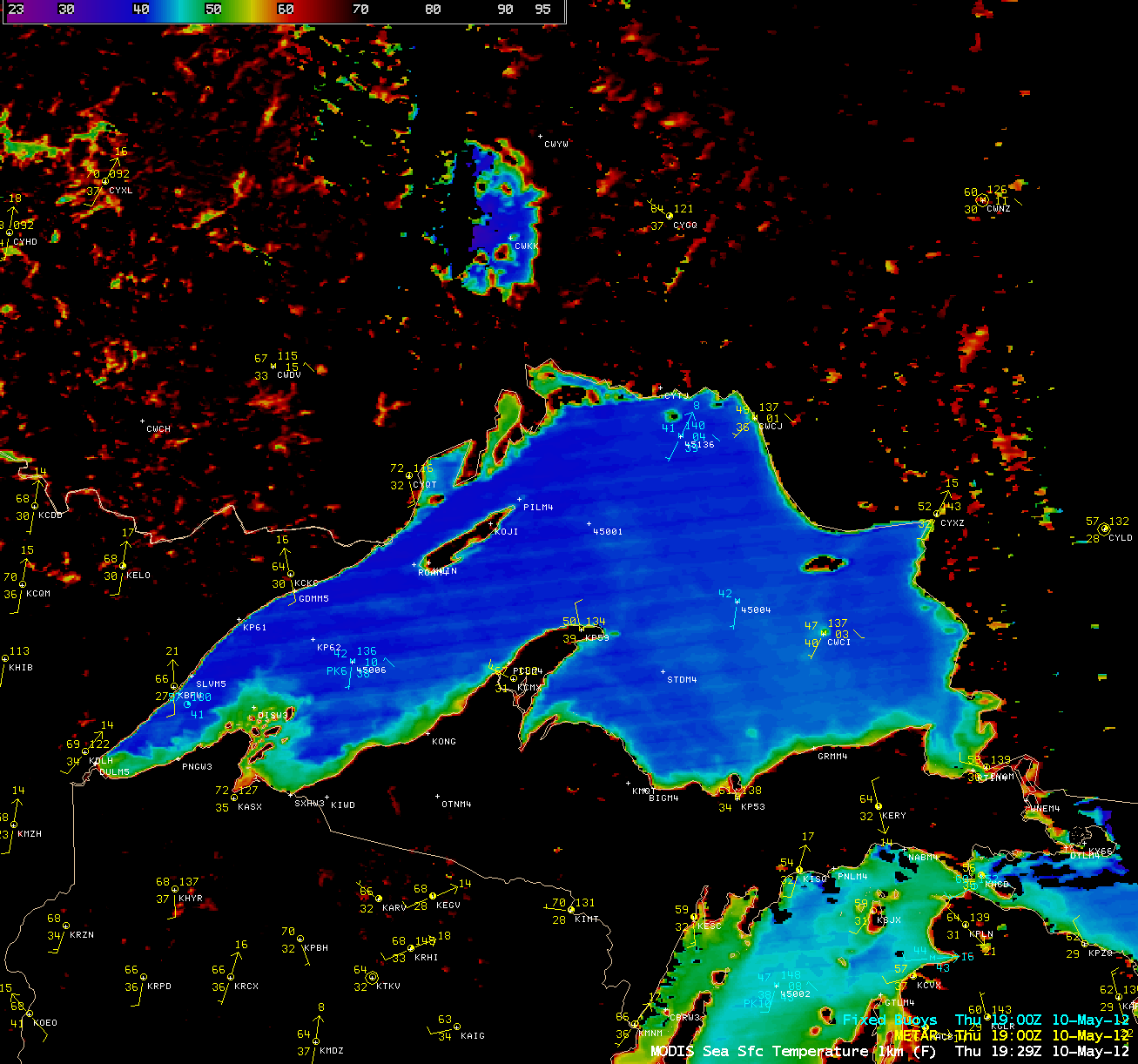
An AWIPS image of the MODIS Sea Surface Temperature (SST) product (below) revealed that SST values were still in the 30s F (darker blue color enhancement) across much of Hudson Bay, with a few pockets of warmer water seen in various locations.

MODIS Sea Surface Temperature product

MODIS Sea Surface Temperature product

CIMSS participation in GOES-R Proving Ground activities includes making a variety of MODIS images and products available for National Weather Service offices to add to their local AWIPS workstations. The VISIT training lesson  “MODIS Products in AWIPS” is available to help users understand these products and their applications to weather analysis and forecasting.

View only this post Read Less
Record heat in parts of Texas, Oklahoma, and Kansas; large fire near Los Alamos, New Mexico

Record heat was experienced across parts of the Texas and Oklahoma panhandle regions and southwestern Kansas on 26 June 2011 — all-time record high temperatures in Texas included 117ºF at Childress (record tied), 113ºF at Borger, 111ºF at Amarillo, and 110ºF at Dalhart; in Oklahoma, 113ºF at Gage; and in Kansas 110ºF... Read More

MODIS Land Surface Temperature product

MODIS Land Surface Temperature product

Record heat was experienced across parts of the Texas and Oklahoma panhandle regions and southwestern Kansas on 26 June 2011 — all-time record high temperatures in Texas included 117ºF at Childress (record tied), 113ºF at Borger, 111ºF at Amarillo, and 110ºF at Dalhart; in Oklahoma, 113ºF at Gage; and in Kansas 110ºF at Dodge City. An AWIPS image of the MODIS Land Surface Temperature (LST) product in the late morning at 16:52 UTC or 11:52 am local time (above) showed a large area exhibiting LST values of 125-130ºF (darker red color enhancement) at that time (although shelter air temperatures 5 feet above the surface were only in the 102ºF to 104ºF range).

GOES-13 3.9 µm shortwave IR images (below; click image to play animation) showed how after sunset the areas with drier air (lower dew points) tended to cool off faster than adjacent areas with more moisture in the air (higher dew points).

GOES-13 3.9 µm shortwave IR images + METAR surface reports (click image to play animation)

GOES-13 3.9 µm shortwave IR images + METAR surface reports (click image to play animation)

Farther to the west, a large wildfire was burning near Los Alamos National Laboratory in New Mexico. A sequence of daytime GOES-13 0.63 µm visible channel images followed by night-time GOES-13 3.9 µm shortwave IR images (below; click image to play animation) revealed a very large smoke plume spreading northeastward during the day on 26 June, along with a very large fire “hot spot” (black to yellow pixels) on the shortwave IR images. The large smoke plume was still apparent on the first few visible images on the next morning (27 June).

GOES-13 0.63 µm visible images + GOES-13 3.9 µm shortwave IR images (click image to play animation)

GOES-13 0.63 µm visible images + GOES-13 3.9 µm shortwave IR images (click image to play animation)

A comparison of 1-km resolution POES AVHRR 0.63 µm visible channel and 3.74 µm shortwave IR channel images (below) showed a better view of the fire hot spot and associated smoke plume at 01:32 UTC.

POES AVHRR 0.63 µm visible  channel and  3.74 µm shortwave IR channel images

POES AVHRR 0.63 µm visible channel and 3.74 µm shortwave IR channel images

View only this post Read Less
Flooding along the Souris River and Missouri River in North Dakota

AWIPS images of 1-km resolution MODIS 0.65 µm visible channel and MODIS 2.1 µm near-IR “snow/ice channel” data on 23 June 2011 (above) demonstrated the utility of the snow/ice channel to help highlight areas of potential flooding — because water is a strong absorber at the 2.1 µm wavelength, it appears very... Read More

MODIS 0.65 µm visible channel and 2.1 µm near-IR "snow/ice channel" images

MODIS 0.65 µm visible channel and 2.1 µm near-IR "snow/ice channel" images

AWIPS images of 1-km resolution MODIS 0.65 µm visible channel and MODIS 2.1 µm near-IR “snow/ice channel” data on 23 June 2011 (above) demonstrated the utility of the snow/ice channel to help highlight areas of potential flooding — because water is a strong absorber at the 2.1 µm wavelength, it appears very dark in the snow.ice images. The Souris River located in north-central North Dakota stands out in the images, along with the Missouri River to the southwest.

A comparison of 250-meter resolution MODIS true color and false color images (below) showed greater detail of the flooded areas on the false color image, as well as the fact that a great deal of sediment was flowing into the Missouri River and even into the western portion of Lake Sakakawea.

MODIS true color and false color Red/Green/Blue (RGB) images

MODIS true color and false color Red/Green/Blue (RGB) images

A comparison between MODIS false color images on 29 June 2010 and 23 June 2011 (below) showed the dramatic change in the Souris River, as well as in the Missouri River southwest of Williston, North Dakota. In June 2011 historic flooding was occurring in the city of Minot along the Souris River.

MODIS false color RGB image comparison: 29 June 2010 vs 23 June 2011

MODIS false color RGB image comparison: 29 June 2010 vs 23 June 2011

View only this post Read Less