This website works best with a newer web browser such as Chrome, Firefox, Safari or Microsoft Edge. Internet Explorer is not supported by this website.

Archive: Aug 2021

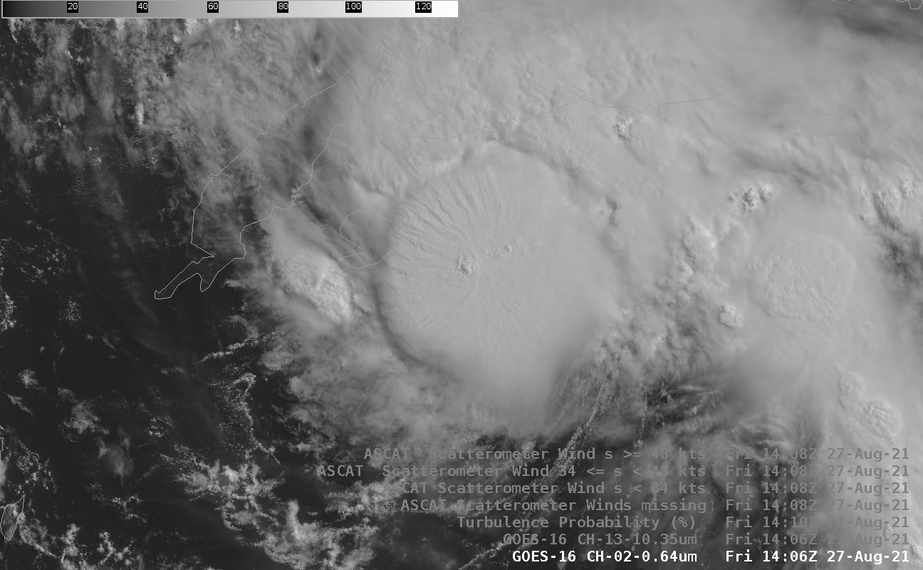
Hurricane Ida develops an eye over the Gulf of Mexico, as intensification continues until landfall

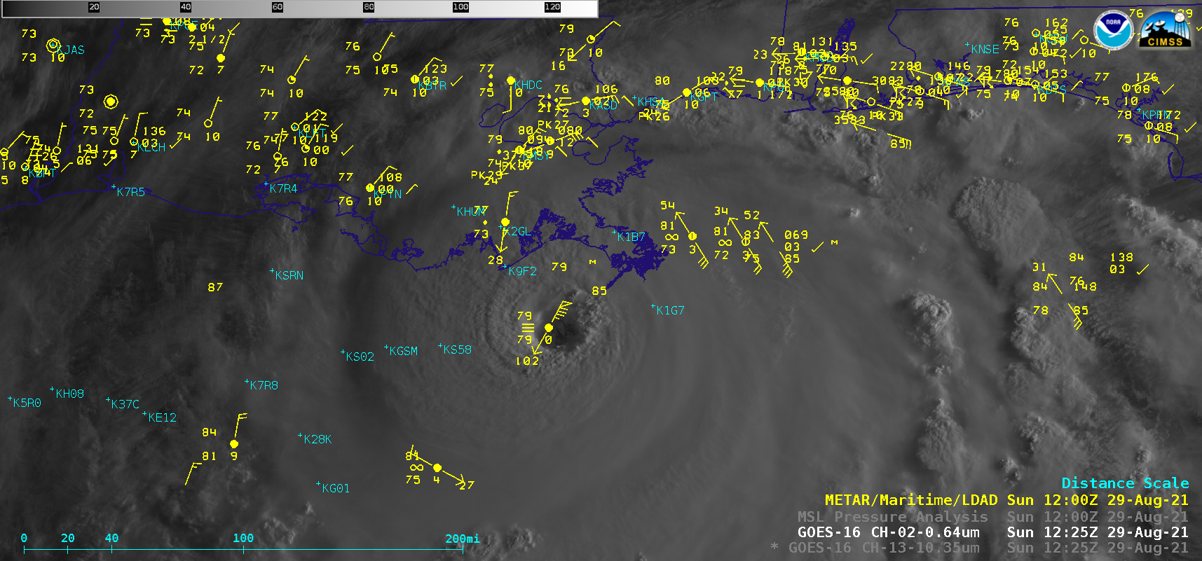
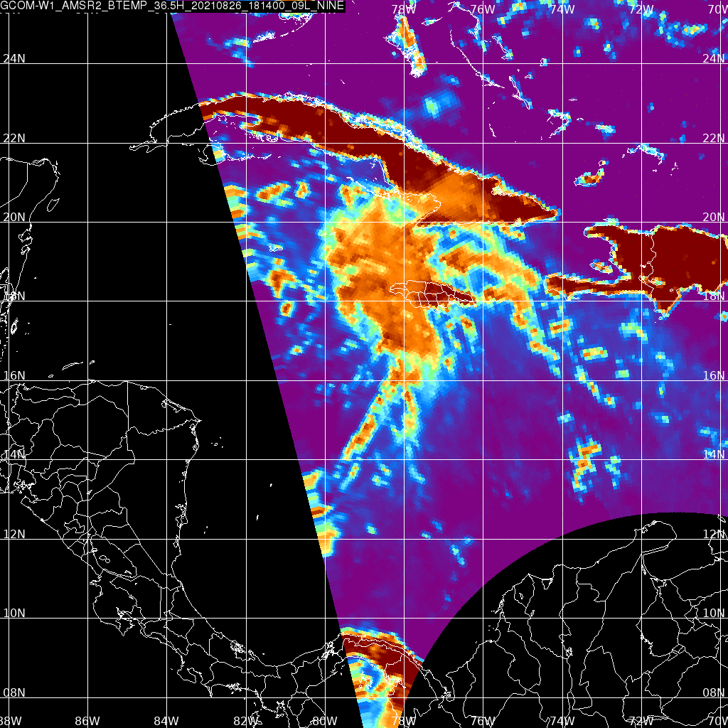
1-–minute Mesoscale Domain Sector GOES-16 (GOES-East) “Red” Visible (0.64 µm) and “Clean” Infrared Window (10.35 µm) images (above)  showed that Hurricane Ida gradually developed an eye, as the Category 1 storm intensified to Category 2 by 1800 UTC on 28 August 2021.Microwave (85 GHz) images from DMSP-17 (above) and DMSP-16 (below) — from the CIMSS Tropical Cyclones site — provided 2 views of the eye... Read More

Ida, Ascat and Turbulence

At 1400 UTC on 27 August, strengthening tropical storm Ida sat south of Cuba, near the Isle of Youth, and is shown above in both visible and infrared imagery; brightness temperatures are as cold as -87 C in the image above. Note also that the surface circulation is southeast of... Read More

Northern California fires

The 2021 northern California wild fire season is still active. It is difficult to see smoke using the VIIRS SNPP day night band (0.7 micron) at night, but there are visible bright spots of the Caldor Fire near Lake Tahoe. The VIIRS I04 (3.74 micron) band shows bright spots of... Read More