This website works best with a newer web browser such as Chrome, Firefox, Safari or Microsoft Edge. Internet Explorer is not supported by this website.

Archive: Jul 2021

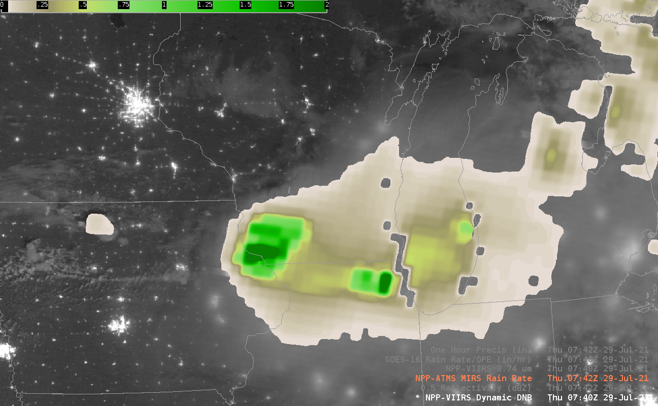
The Day Night Band and Smoke

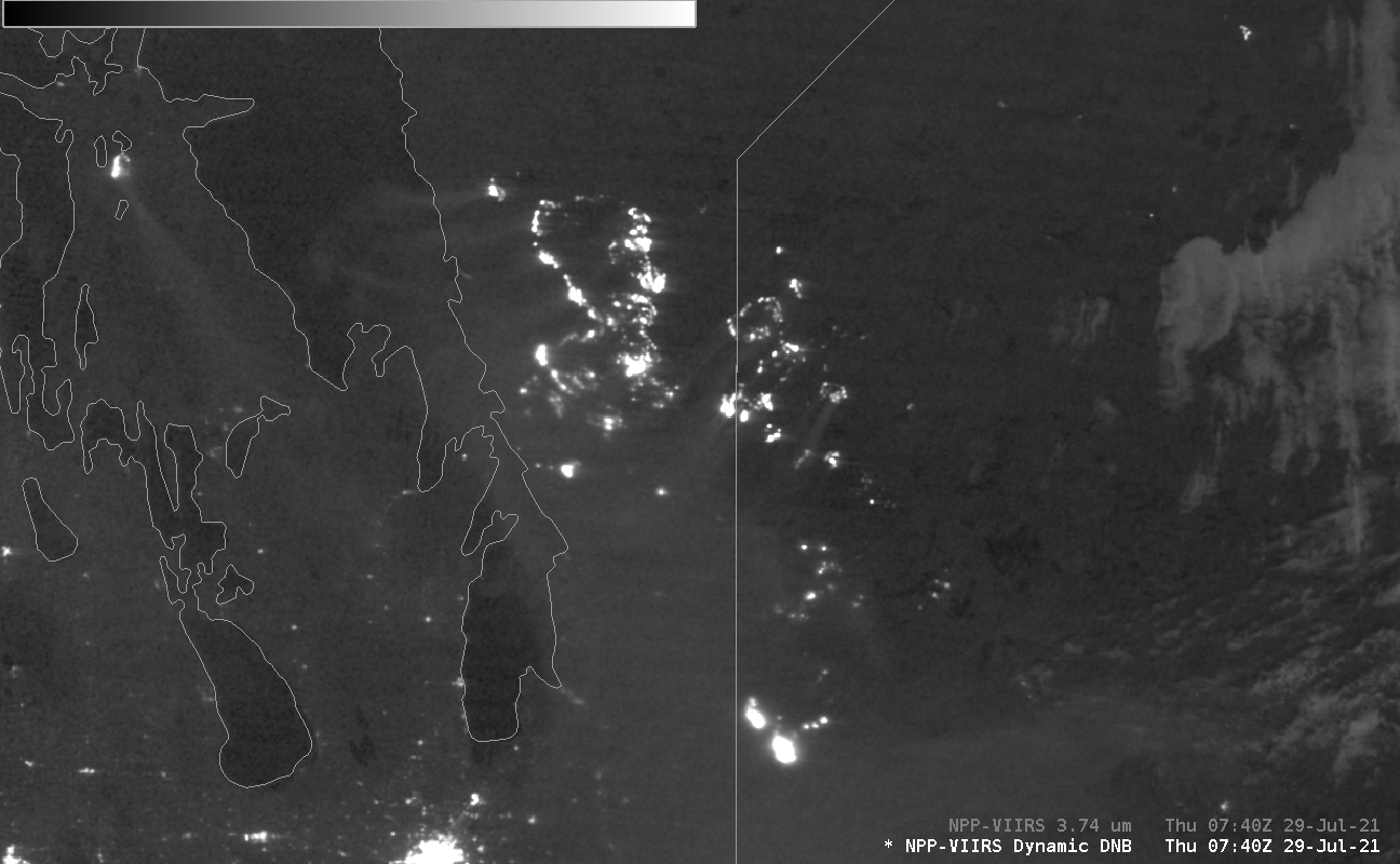
Smoke from fires (unless it is extraordinarily thick) is very challenging to detect at night in infrared imagery. When there is sufficent lunar illumination, however, as occurred on 29 July 2021 over Canada (the image above shows northwestern Ontario and southern Manitoba — Lakes Winnepeg, Winnepegosis and Manitoba are apparent,... Read More

SAR winds near Tropical Storm Nepartak

RADARSAT Constellation Mission One (RCM1) passed over Nepartak at 0828 UTC on 27 July 2021, and the image above shows the Synthetic Aperture Radar (SAR) winds derived at that time. There is a widespread region of ~40-knot winds (cyan to green in the color enhancement), a bit stronger than the... Read More

Severe thunderstorms in northern Minnesota

1–minute Mesoscale Domain Sector GOES-16 (GOES-East) “Red” Visible (0.64 µm) images and “Clean” Infrared Window (10.35 µm) images (above) include time-matched plots of SPC Storm Reports produced by supercell thunderstorms that moved east-southeastward across northern Minnesota during the afternoon and early evening hours on 26 July 2021. Severe reports included a tornado at 2213 UTC and hail as large as to 3.0 inches in diameter... Read More