Creating RGB imagery using SIFT and Geo2Grid
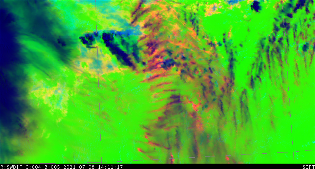
The use of routine multispectral geostationary satellite imagery over the United States has increased the routine use of Red/Green/Blue composite imagery to describe and evaluate surface and atmospheric conditions. This blog post will detail how to create new (or old) RGB composites using two UW-Madison/CIMSS/SSEC-developed tools: The Satellite Information and... Read More
