This website works best with a newer web browser such as Chrome, Firefox, Safari or Microsoft Edge. Internet Explorer is not supported by this website.

Archive: Jul 2021

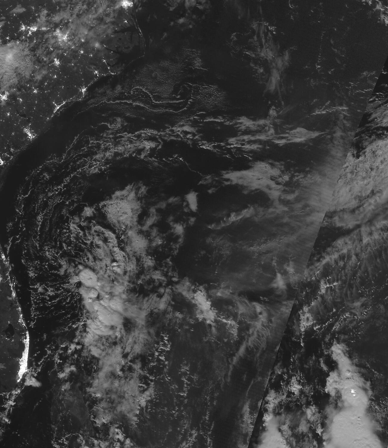
Tropical Storm Nepartak approaches Japan

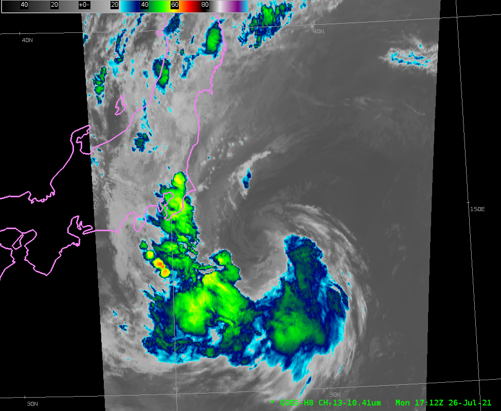
As the games of the 2021 Olympics progress, a weakening Tropical Storm Nepartak is moving over coastal waters to the east of Honshu, the main island of Japan. The Total Precipitable Water imagery, above, from MIMIC TPW, shows a plume of moisture wrapped around the circulation center. Himawari-8 Clean Window... Read More

Tropical disturbance off the US Southeast Coast

The National Hurricane Center is monitoring an area of disturbed weather over the western Atlantic, to the north of the Bahamas and south of Cape Hatteras. The three-hour animation from the CSPP GeoSphere site (link, above), shows convection and a small low-level cyclonic circulation. This system is drifting to the... Read More

Moist air over the tropical western Pacific Ocean

Microwave estimates of total precipitable water over the western Pacific Ocean (available here) show a moist airmass — out of which Typhoon In-Fa (seen near Taiwan in the animation) emerged — over the western Pacific Ocean. (The circulation of Tropical cyclone Cempaka is also apparent near the Gulf of Tonkin)... Read More

Aerosol Optical Depth and surface visibility

The image above shows the Level 2 GOES-R product, Aerosol Optical Depth (AOD), a product created in clear skies, overlain with the GOES-16 Visible imagery from the same time. AOD measures the extinction of light via scattering and absorption by small particles in the atmosphere, and it can be used... Read More