Severe thunderstorms in the High Plains
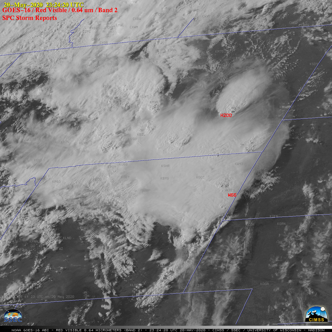
1-minute Mesoscale Domain Sector GOES-16 (GOES-East) “Red” Visible (0.64 µm) images with time-matched SPC Storm Reports (above) showed widespread thunderstorms that moved northward across the High Plains during the afternoon and evening hours on 20 May 2020. There were Above-Anvil Cirrus Plumes associated with many of these severe storms (VISIT training).The corresponding GOES-16 “Clean” Infrared Window (10.35 µm) images are shown... Read More
