Boundary layer wave clouds over Kansas
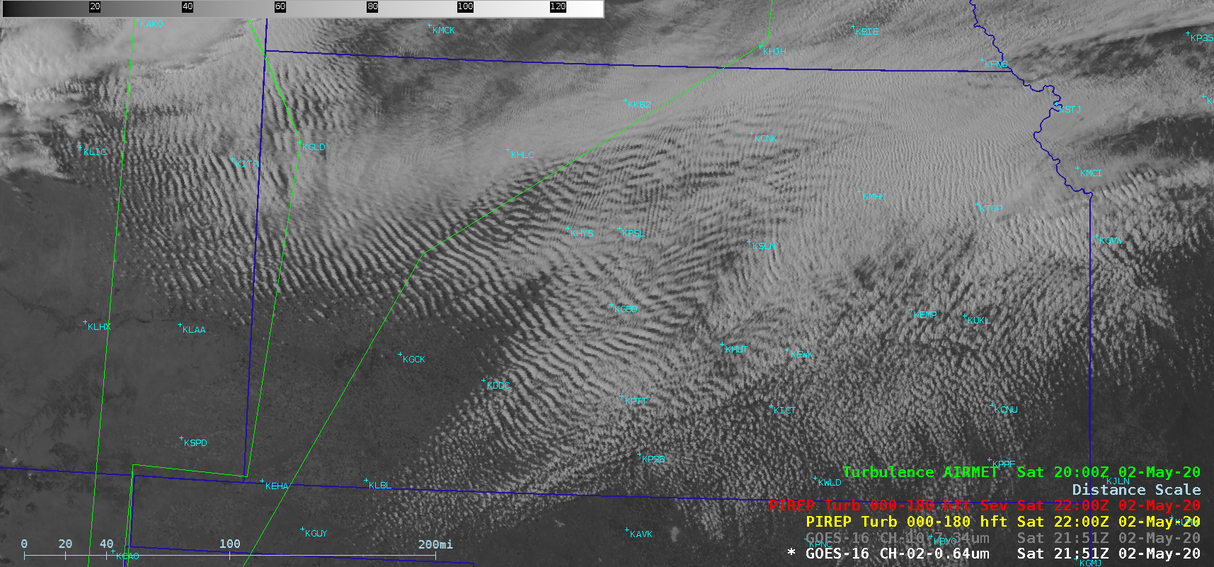
GOES-16 (GOES-East) “Red” Visible (0.64 µm) images (above) showed widespread boundary layer wave clouds across much of Kansas and far eastern Colorado on 02 May 2020. Although there was a temporary outage of pilot report data from 18-19 UTC, there was one pilot report of light turbulence over Hays, Kansas (KHYS) at an... Read More
