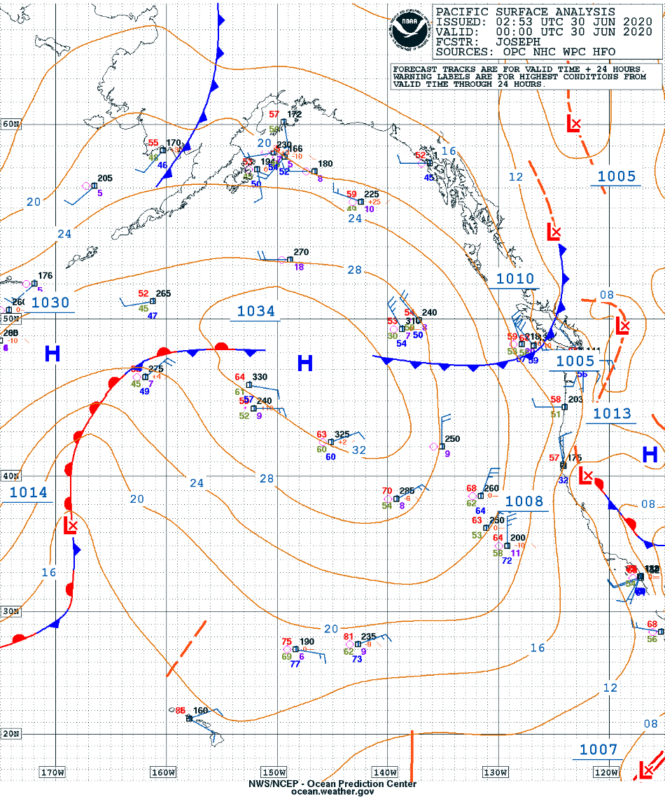
Actinoform clouds near Hawai’i
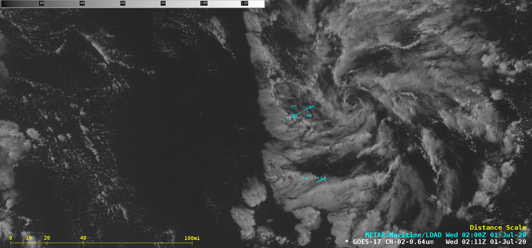
GOES-17 (GOES-West) “Red” Visible (0.64 µm) images (above) revealed 3 cyclonically-rotating actinoform cloud structures that were moving west-southwestward toward the Hawaiian Islands on 30 June 2020 (surface analyses).A closer look at the northernmost actinoform feature showed it moving over Buoy 51000 (located 245 miles northeast of Honolulu) around 04 UTC on 01 July —... Read More
