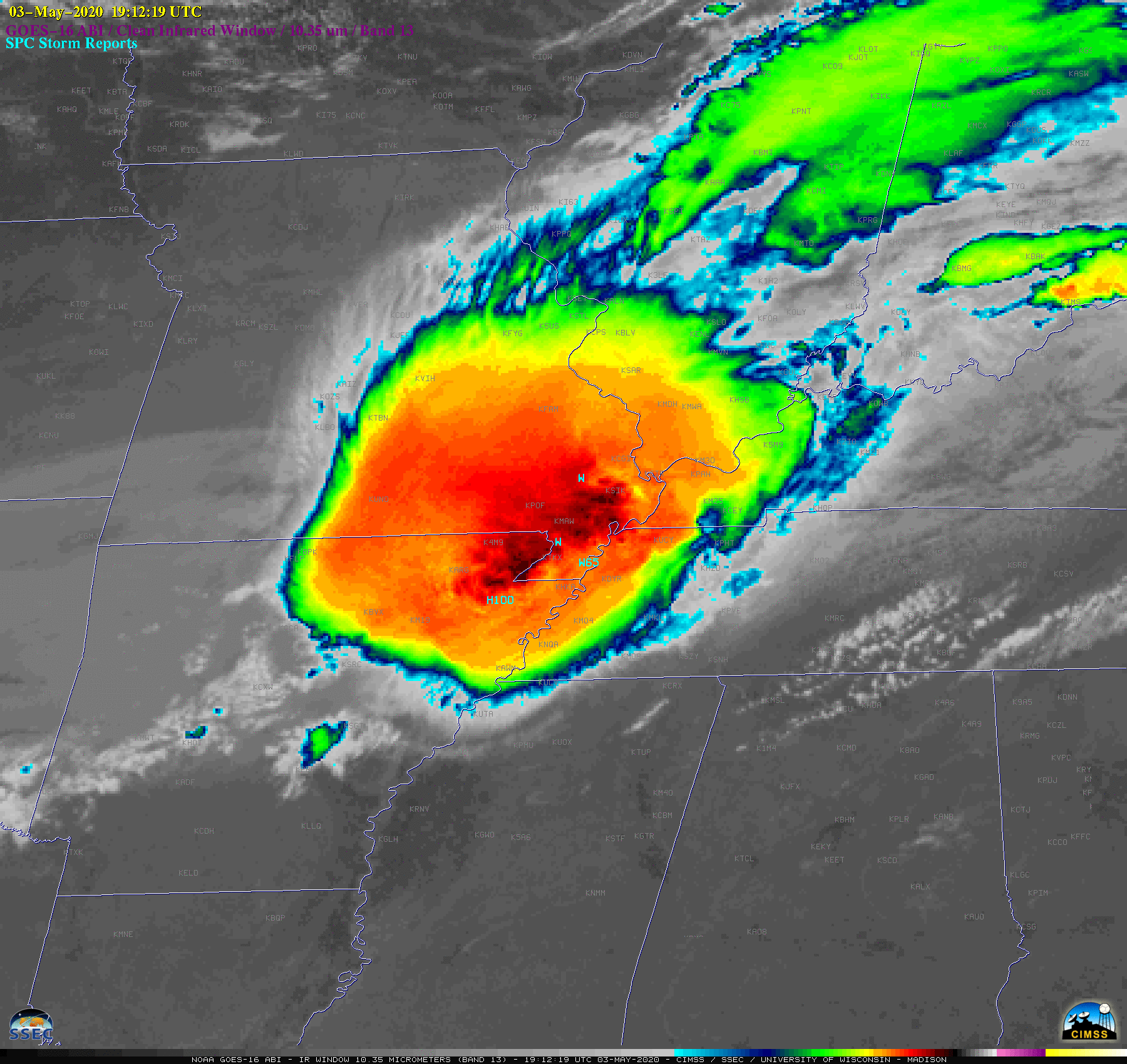
Derecho causing severe weather from the Midwest to the Mid-South

1-minute Mesoscale Domain Sector GOES-16 (GOES-East) “Red” Visible (0.64 µm) images (above) showed a long-lived Mesoscale Convective System (MCS) or derecho that produced a swath of large hail and damaging winds (SPC Storm Reports | NWS Nashville) from eastern Kansas to central Tennessee, northern Mississippi and northern Alabama on 03 May 2020.The corresponding GOES-16 “Clean” Infrared Window (10.35 µm)... Read More


