This website works best with a newer web browser such as Chrome, Firefox, Safari or Microsoft Edge. Internet Explorer is not supported by this website.

Archive: Mar 2019

Severe Thunderstorms with Above-Anvil Cirrus Plumes over Texas

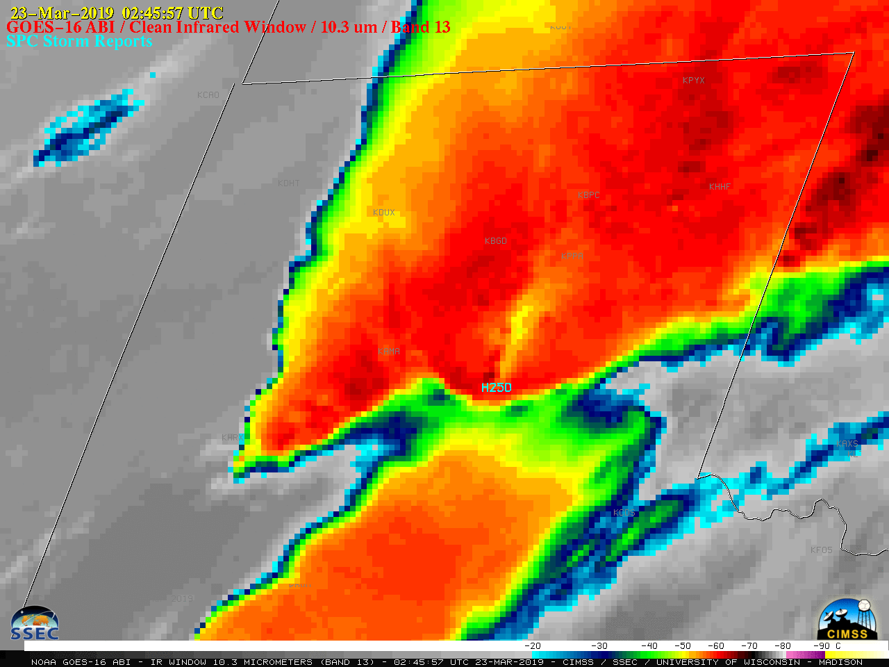
1-minute Mesoscale Domain Sector GOES-16 (GOES-East) “Red” Visible (0.64 µm) and “Clean” Infrared Window (10.3 µm) images before sunset (above) and Infrared images after sunset (below) revealed Above-Anvil Cirrus Plume (AACP) features associated with severe thunderstorms that were producing large hail (SPC storm reports) over the Texas Panhandle on 22 March 2019.A plot of 00 UTC rawinsonde data from Amarillo, Texas (below) showed... Read More

Tropical Cyclone Veronica north of Australia

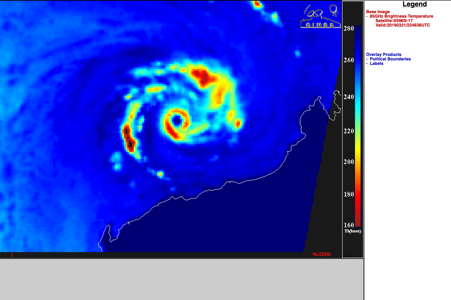
A toggle between Suomi NPP VIIRS Day/Night Band (0.7 µm) and Infrared Window (11.45 µm) images (above) showed Category 4 Cyclone Veronica off the northern coast of Western Australia at 1716 UTC on 21 March 2019. Ample illumination from a Full Moon maximized the “visible image at night” capability of... Read More