Signatures of the Alaska Range in GOES-17 Water Vapor imagery
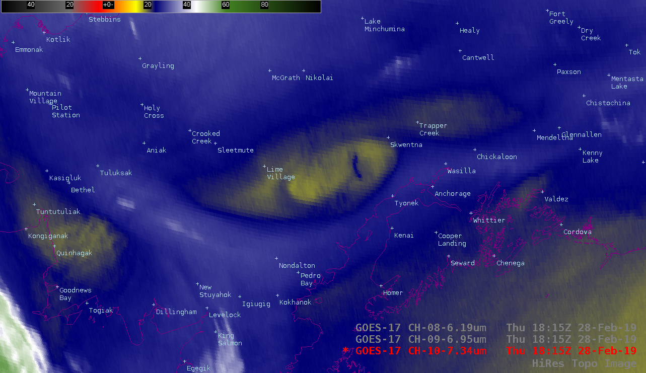
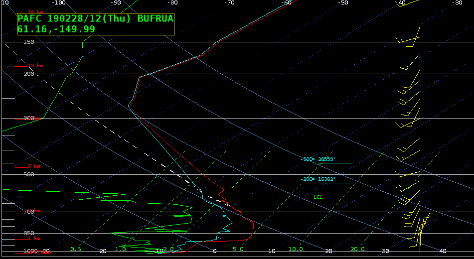
GOES-17 (GOES-West) Low-level (7.3 µm), Mid-level (6.9 µm) and Upper-level (6.2 µm) Water Vapor images (above) displayed subtle thermal signatures of some of the highest-elevation western and central portions of the Alaska Range on 28 February 2019.Plots of GOES-17 Water Vapor weighting functions, calculated using 12 UTC rawinsonde data from Anchorage, are shown below. Even with a very... Read More

