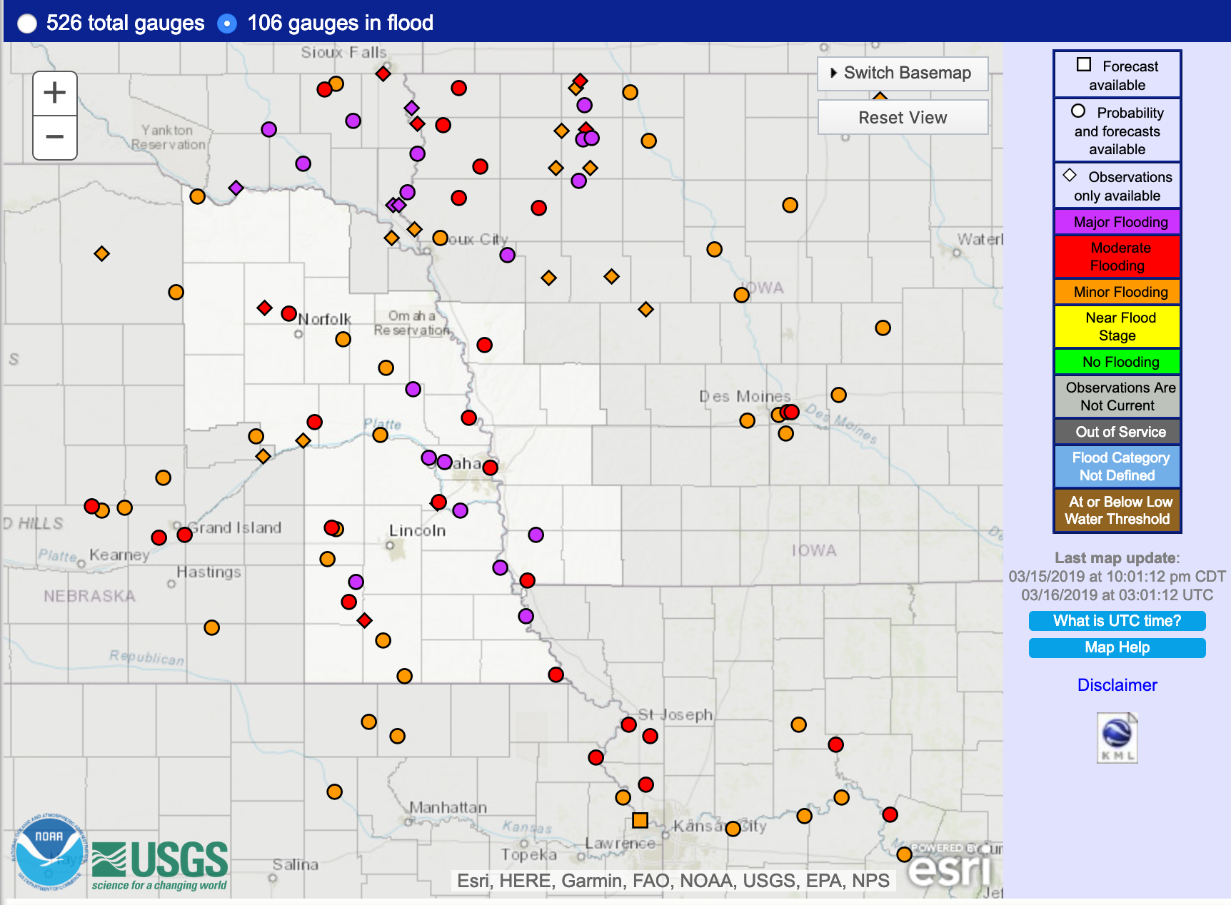
Flooding in South Dakota, Nebraska and Iowa
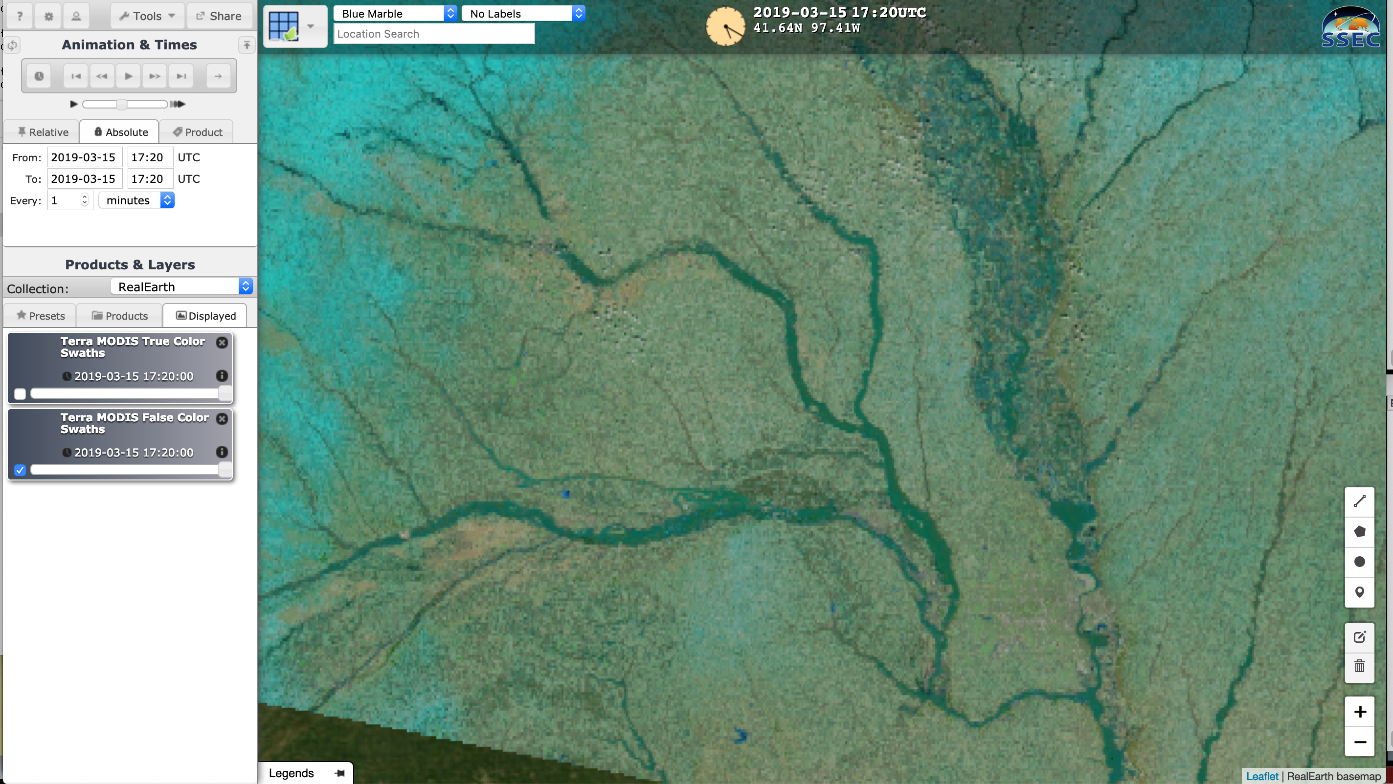
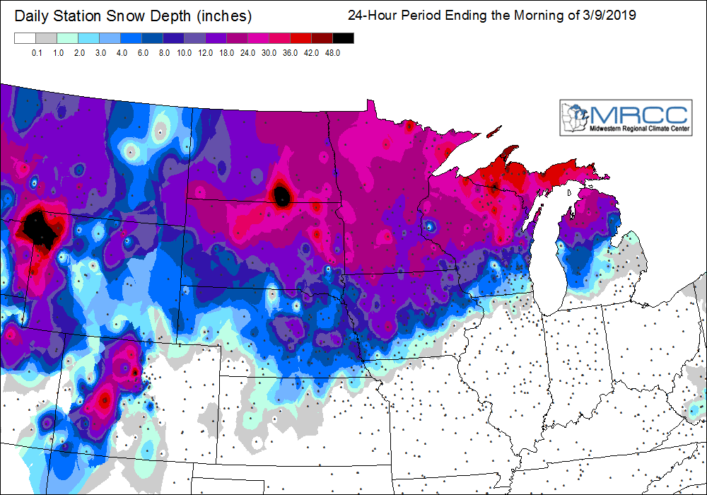
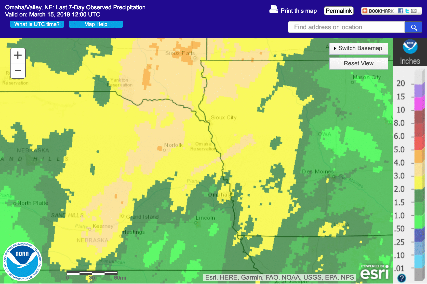
GOES-16 (GOES-East) Near-Infrared “Vegetation” (0.86 µm) and “Snow/Ice” (1.61 µm) images (above) revealed widespread river flooding (in the wake of rapid snow melt and heavy rainfall) across parts of southeastern South Dakota, eastern Nebraska and western/central Iowa on 15 March 2019. Water and flooded land appear as darkest shades of gray to black on both sets of... Read More
