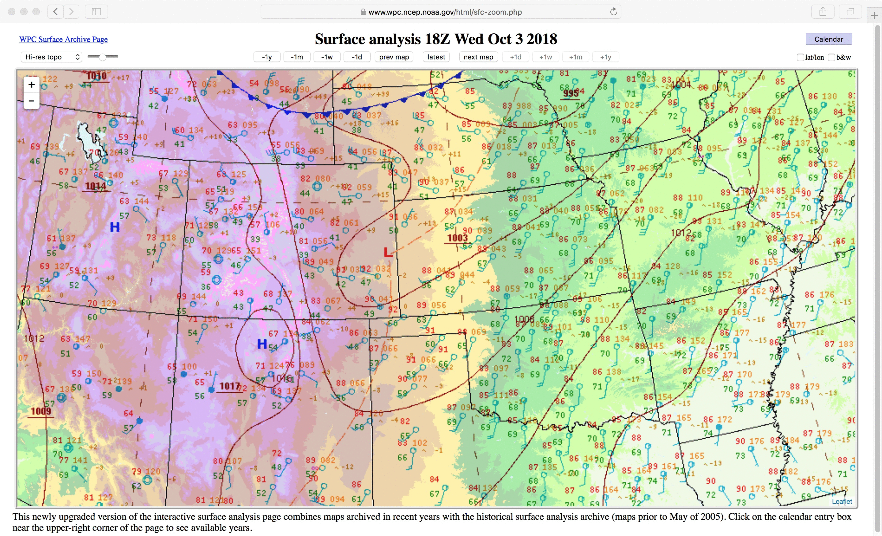
Hurricane Michael reaches Category 3 intensity
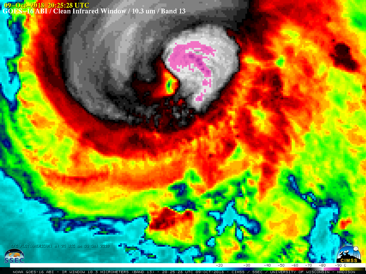
Metop-A ASCAT scatterometer data (above) showed surface wind speeds as high as 64 knots near the storm center while Michael was at Category 2 intensity just northwest of Cuba at 0307 UTC on 09 October 2018.A toggle between Suomi NPP VIIRS Day/Night Band (0.7 µm) and Infrared Window (11.45 µm) images... Read More
