Stereoscopic views of Hurricane Michael
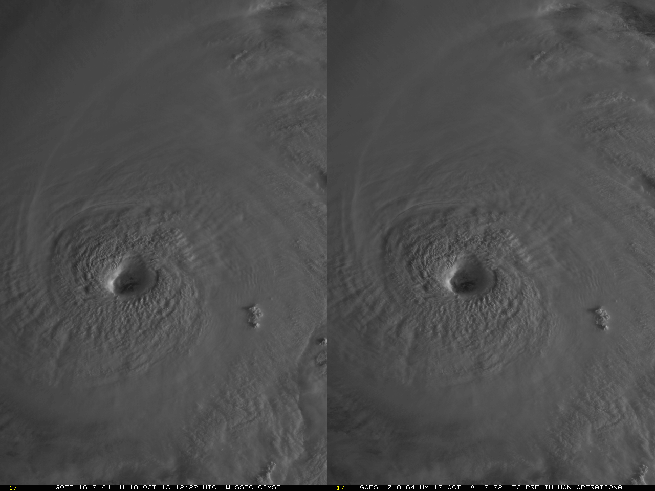
GOES-17 data in this post are preliminary and non-operationalCONUS (Contiguous United States) imagery at 5-minute intervals from GOES-16 at 75.2 W Longitude and GOES-17 at 89.5 W Longitude allows for Hurricane Michael to be viewed stereroscopically from space. The animation above, starting at 1142 UTC and extending to sunset, (click... Read More
