GOES-16 Mesoscale Sectors: improved monitoring of fire activity
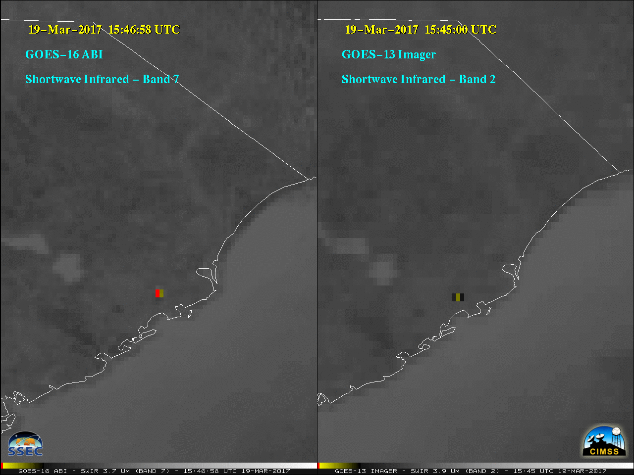
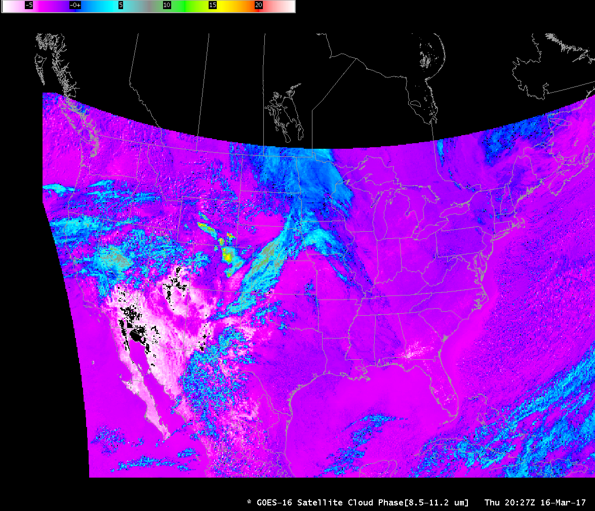
** The GOES-16 data posted on this page are preliminary, non-operational data and are undergoing testing. **The ABI instrument on GOES-16 is able to scan 2 Mesoscale Sectors, each of which provides images at 1-minute intervals. For what was likely a prescribed burn in the Francis Marion National Forest (near the... Read More
