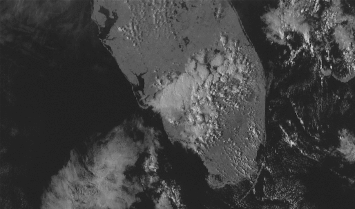
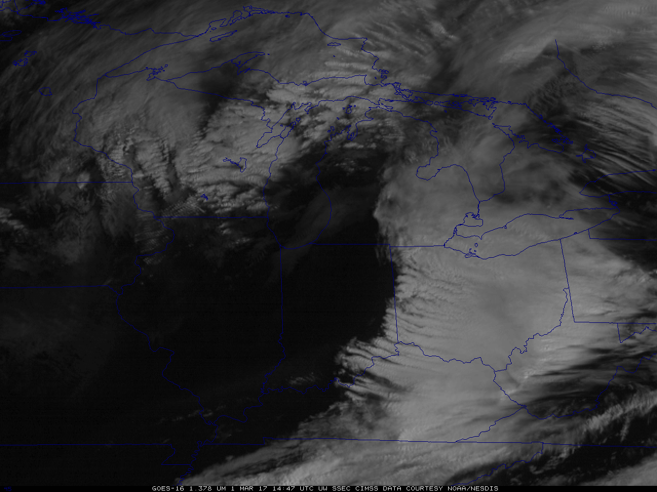
GOES-16 visible images of a squall line moving across Virginia
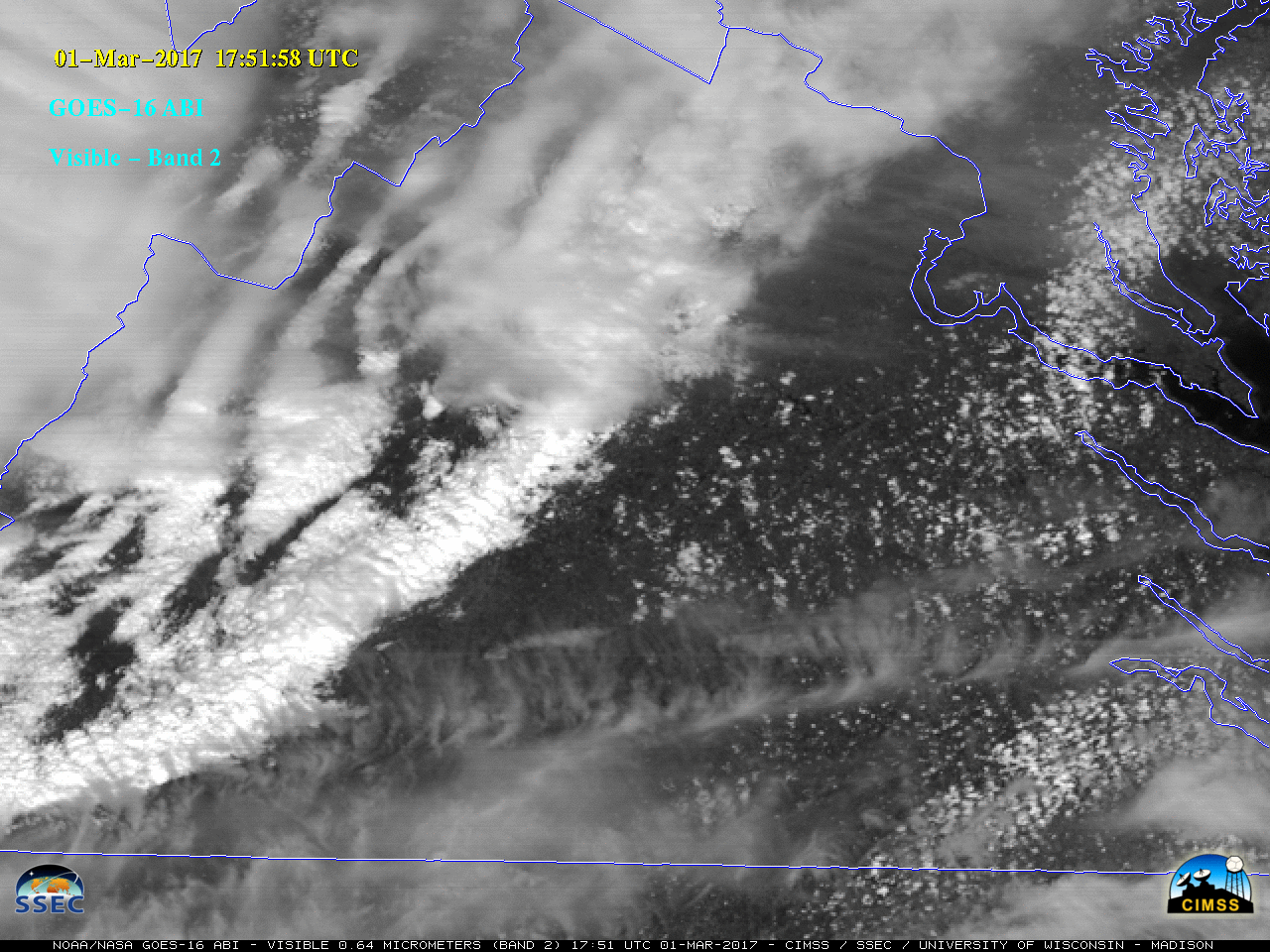
Note: GOES-16 data shown on this page are preliminary, non-operational data and are undergoing on-orbit testing.A strong pre-cold-frontal squall line produced widespread severe weather (primarily damaging winds: SPC storm reports) across the eastern US on 01 March 2017. A GOES-16 Mesoscale Sector provided imagery at 60-second intervals during a portion of the... Read More