GOES-16 Mesoscale Sectors: 1-minute imagery of severe thunderstorms in Oklahoma
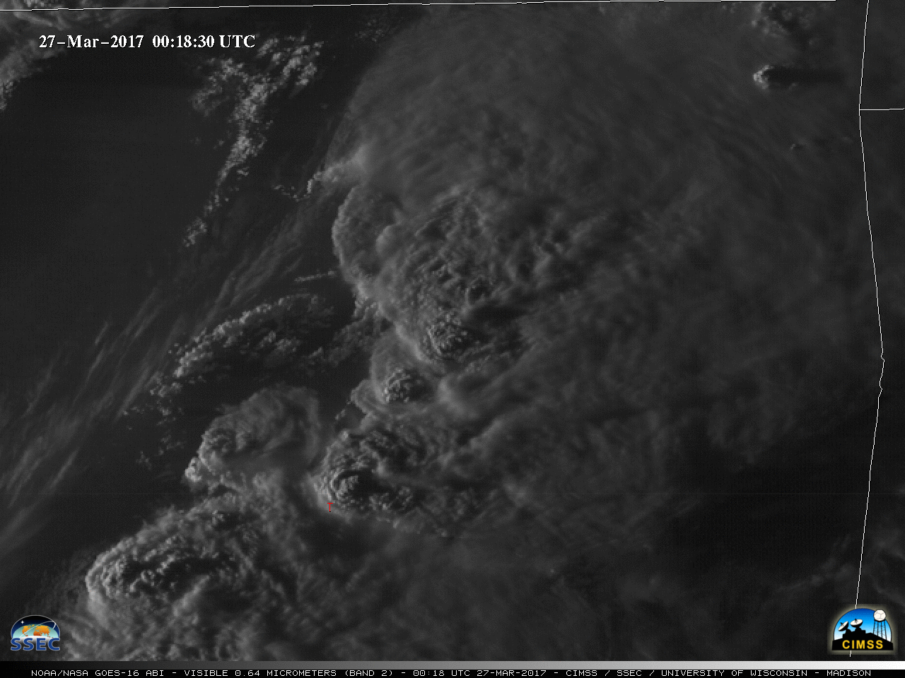
** The GOES-16 data posted on this page are preliminary, non-operational data and are undergoing testing. **As noted on the Satellite Liaison Blog, an outbreak of severe thunderstorms developed over parts of Oklahoma and Texas on 26 March 2017. A GOES-16 Mesoscale Sector positioned over that region provided 1-minute data — and 0.5-km resolution Visible... Read More
