GOES-16 Visible and Cirrus Channels
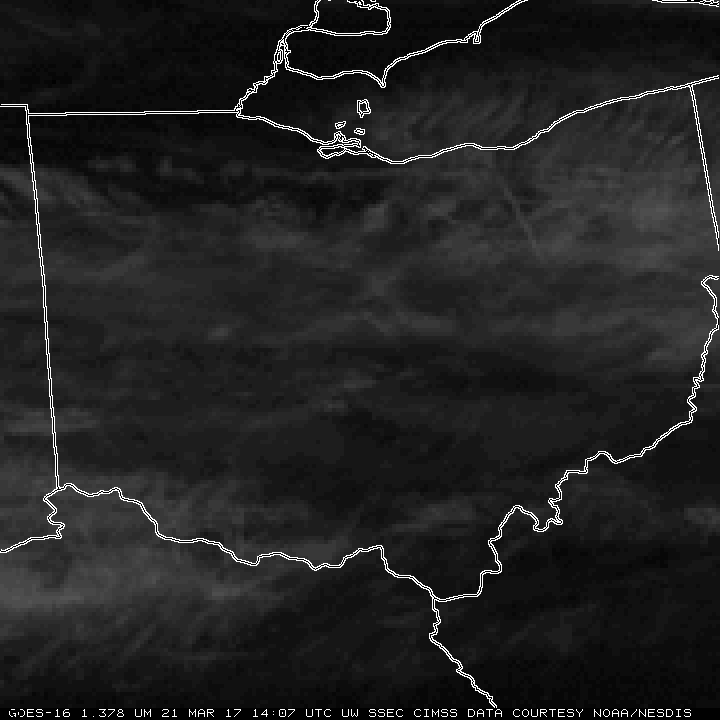
GOES-16 data posted on this page are preliminary, non-operational data that are undergoing testing.GOES-16 Visible imagery captured the erosion of near-surface clouds over Ohio on 21 March 2017. A benefit of the routine 5-minute imagery is that it allows better estimates of exactly when the low clouds will clear out.... Read More
