GOES-16 Mesoscale Sectors: 30-second imagery of severe thunderstorms over the Texas Panhandle
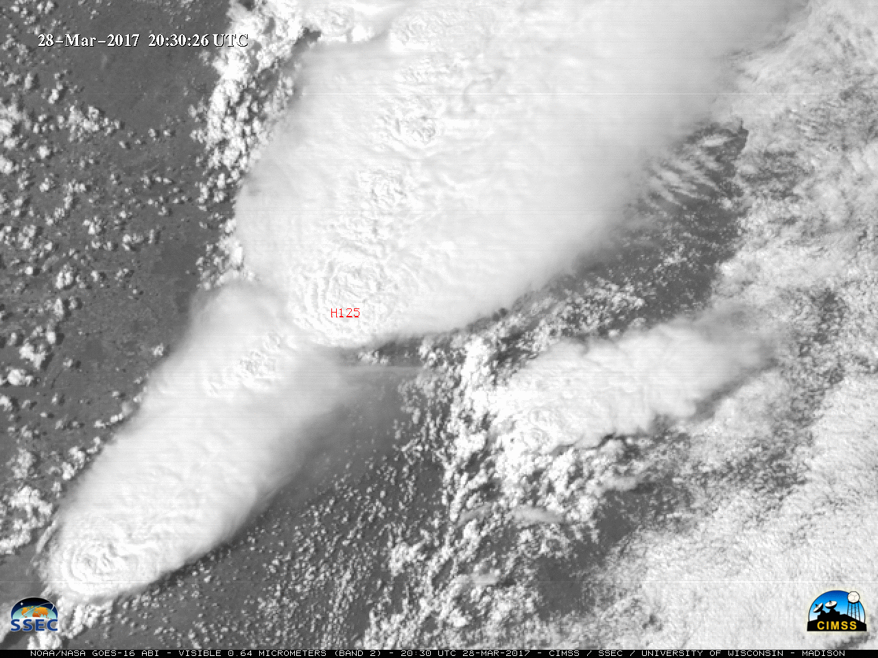
** The GOES-16 data posted on this page are preliminary, non-operational data and are undergoing testing. **The Storm Prediction Center issued a Moderate Risk for severe thunderstorms over the southern Plains on 28 March 2017. As a result, both 1-minute GOES-16 Mesoscale Sectors were positioned over that region, providing images at 30-second intervals. ABI... Read More
