This website works best with a newer web browser such as Chrome, Firefox, Safari or Microsoft Edge. Internet Explorer is not supported by this website.

Category: Himawari-8

Pyrocumulonimbus clouds in Western Australia

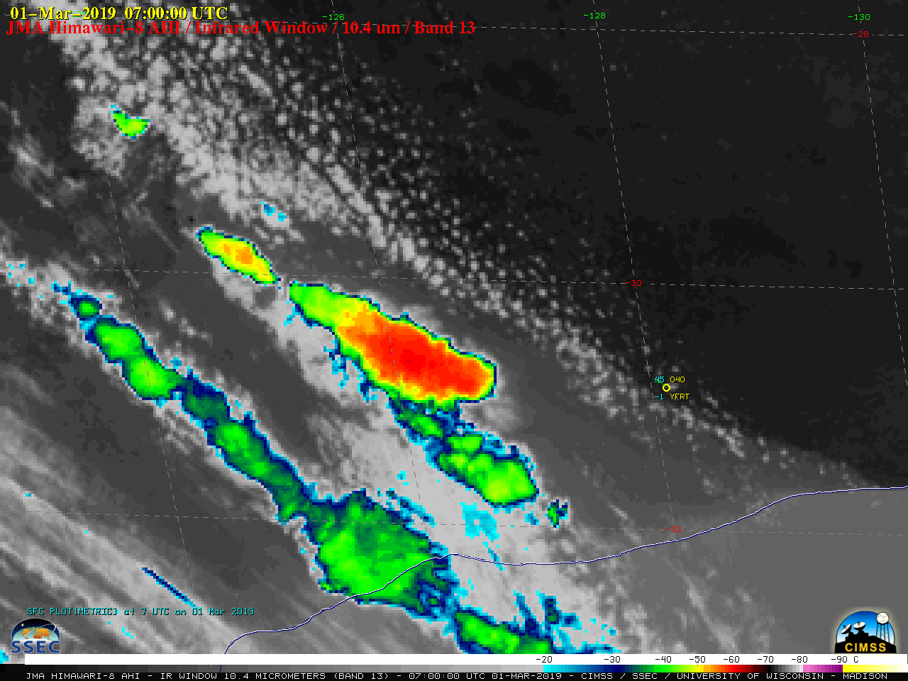
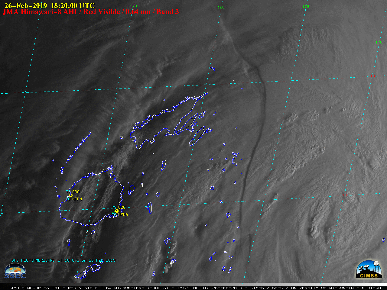
Large bushfires burning in the southern portion of the state of Western Australia produced three pyroCumulonimbus (pyroCb) clouds on 01 March 2019. JMA Himawari-8 “Red” Visible (0.64 µm) images (above) showed that the pyroCb clouds drifted southeastward after formation.Himawari-8 “Clean” Infrared Window (10.4 µm) images (below) further revealed the 3... Read More

Super Typhoon Wutip

After previously reaching Category 4 intensity on 23 February, Super Typhoon Wutip underwent an eyewall replacement cycle (MIMIC-TC) and emerged to reach Category 5 intensity at 06 UTC on 25 February 2019 (ADT | SATCON) — becoming the strongest (and only Category 5) February tropical cyclone on record for the Northwest... Read More

Using NUCAPS Soundings near Tropical Cyclones

Tropical systems over the western Pacific are in a region where surface observations are few and far between.  Imagers on geostationary satellites, such as the Advanced Himawari Imagery (AHI) on Himawari-8, shown above, capably track such systems, but sounders do a much better job diagnosing the atmosphere through and towards... Read More