Stereoscopic views of Tropical Pacific Convection (and Tropical Storm Wutip) during Mode 6 Testing for GOES-17
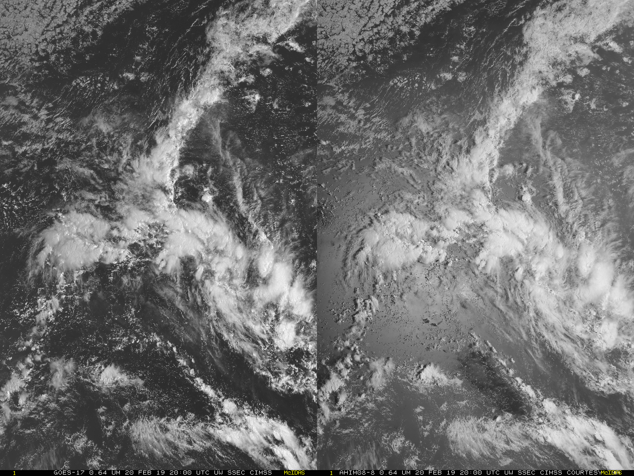
GOES-17 Band 2 Visible (0.64 µm) Imagery (Left) and Himawari-8 Band 3 Visible (0.64 µm) from 2000 UTC on 20 February to 0450 UTC on 21 February 2019 (Click to play animated gif)
GOES-17 is typically operational using Mode 3 Scanning, in which mode Full Disk images are acquired every 15 minutes (in addition to a PACUS sector every 5 minutes and two mesoscale sectors every minute). NOAA/NESDIS plans a transition to operational Mode 6 scanning at some point in Spring, and testing for that is ongoing. In Mode 6, Full Disk images are acquired every 10 minutes (while maintaining the 5-minute PACUS imagery and two 1-minute Mesoscale sectors), a Full Disk sequencing that aligns with Himawari-8 Full Disk image acquisition. This means that stereoscopic views using GOES-17 (overhead at 137.2º W) and Himawari-8 (overhead at 140.8º E) can be created with a 10-minute time step when GOES-17 is in Mode 6 (vs. every 30 minutes when GOES-17 is operating in Mode 3, as shown here).
The stereoscopic animation above shows tropical convection that was trailing western Pacific then-Tropical Storm Wutip (link 1, link 2 on Typhoon Wutip); The three-dimensions apparent in the stereoscopic imagery allow for easy identification of vertical shear — over the southwestern corner of the image, for example.
Tropical Storm Wutip was on the extreme limb of GOES-17’s field of view on 20-21 February; nevertheless, data could be used to view the storm, in stereo, with Himawari-8. That animation is shown below. Wutip is on the western edge of the imagery.
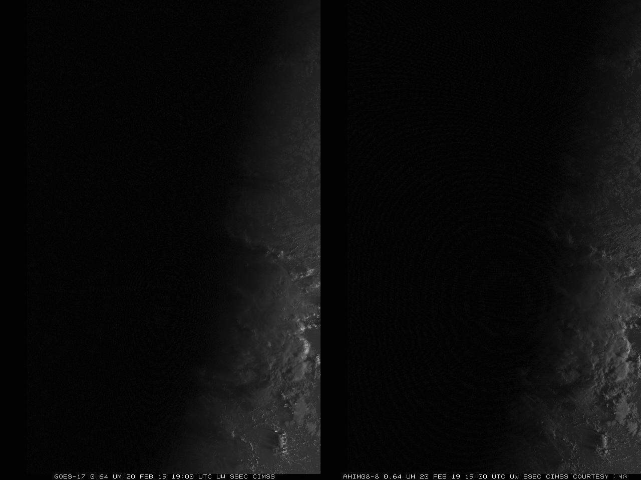
GOES-17 Band 2 Visible (0.64 µm) Imagery (Left) and Himawari-8 Band 3 Visible (0.64 µm) from 1900 UTC on 20 February to 0450 UTC on 21 February 2019 (Click to play animated gif)
Himawari-8 imagery is courtesy the Japan Meteorological Agency, JMA.