Pyrocumulonimbus cloud in eastern Russia
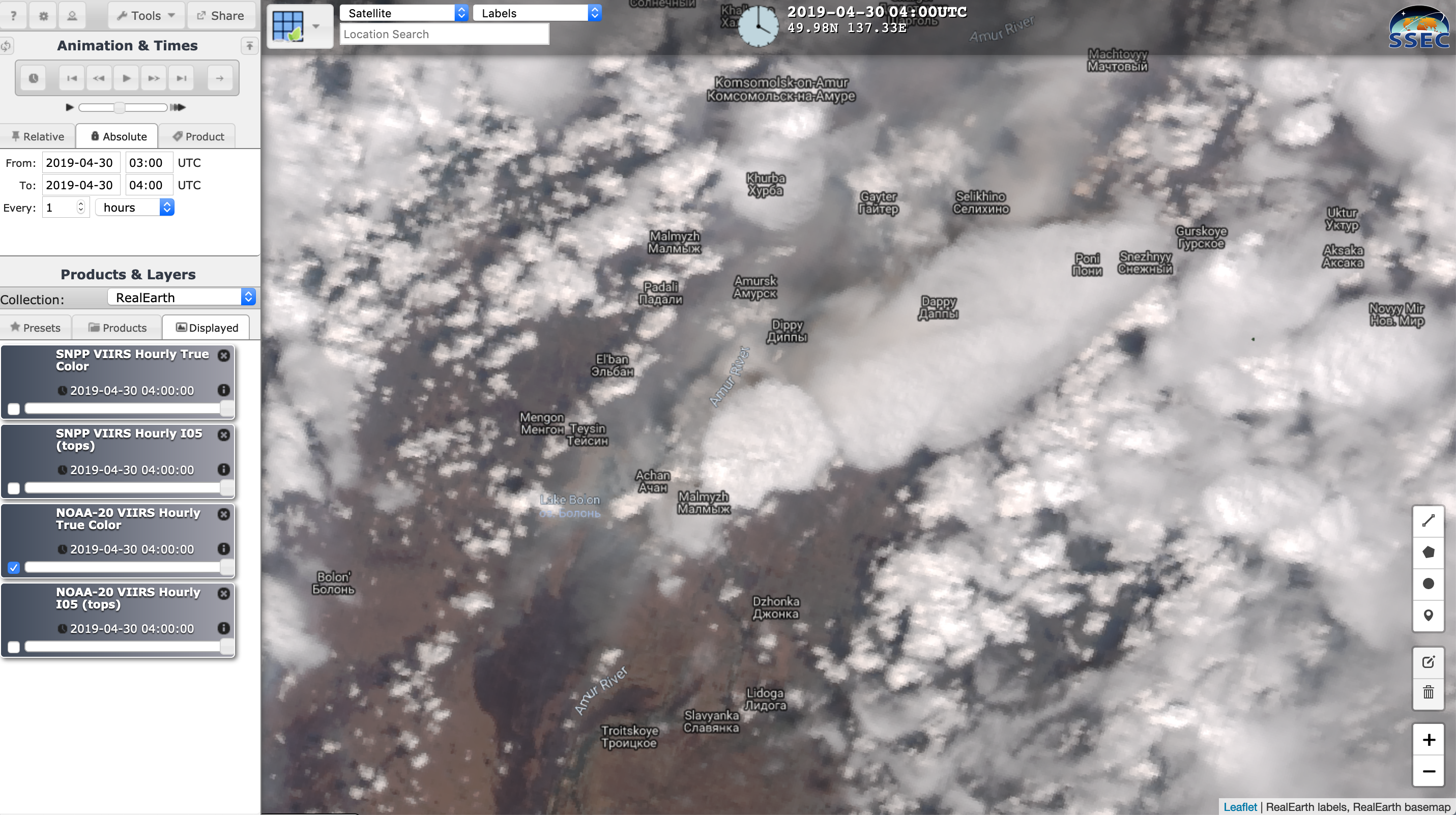
On 30 April, JMA Himawari-8 “Red” Visible (0.64 µm), Shortwave Infrared (3.9 µm) and “Clean” Infrared Window (10.4 µm) images (above) showed the formation of the first known pyrocumulonimbus (pyroCb) cloud of the 2019 Northern Hemisphere wildfire season. The pyroCb developed within the warm sector of an approaching midlatitude cyclone... Read More
