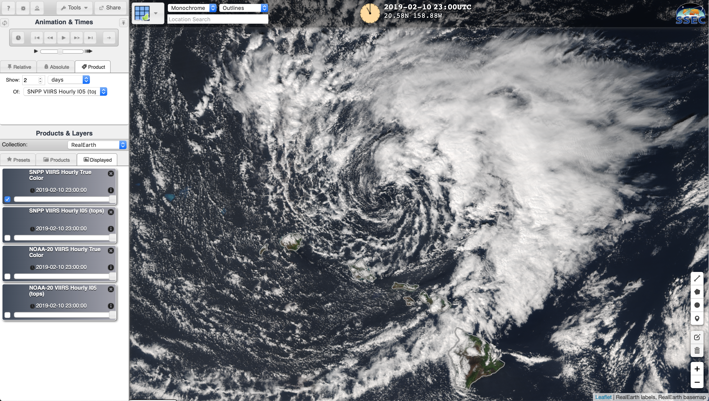
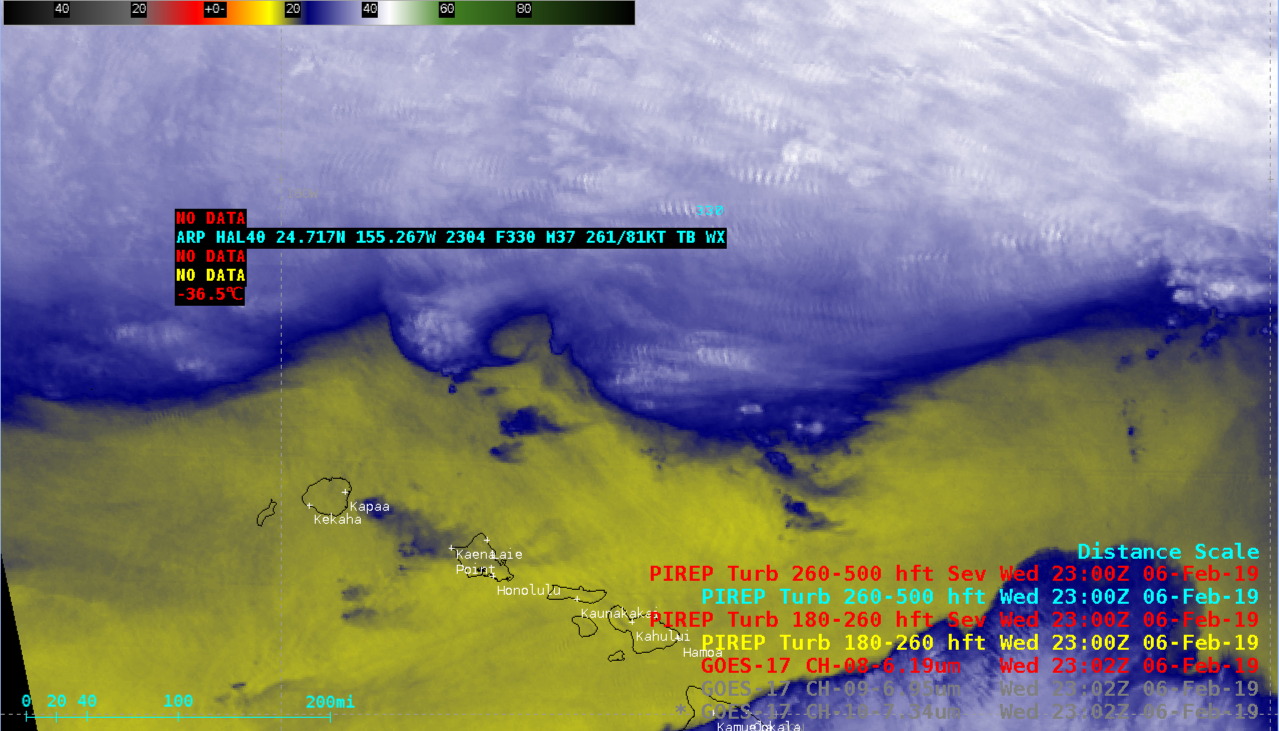
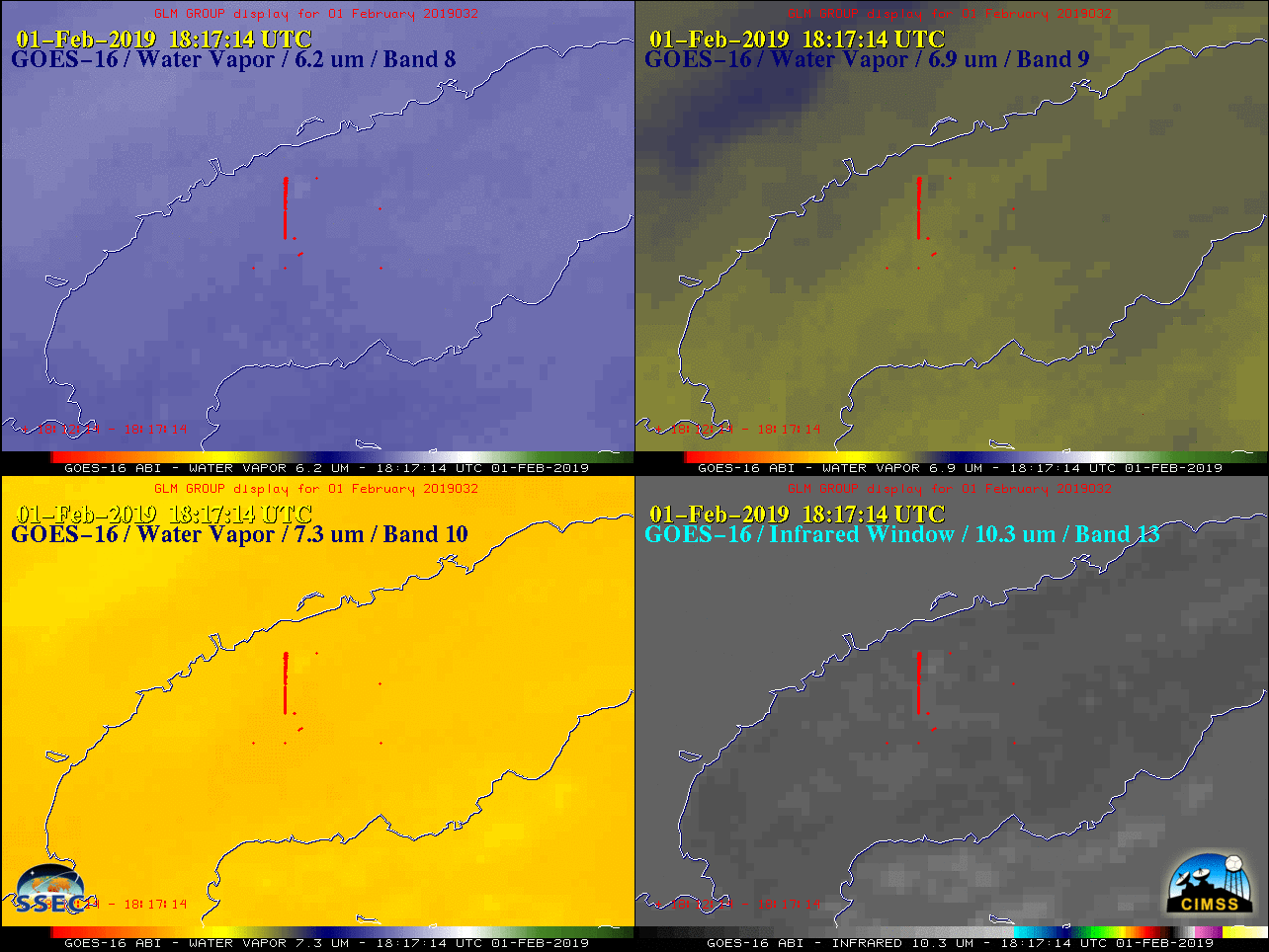
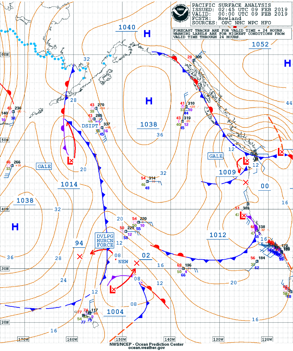
This website works best with a newer web browser such as Chrome, Firefox, Safari or Microsoft Edge. Internet Explorer is not supported by this website.

Category: GOES-17

Rope cloud in the East Pacific Ocean

* GOES-17 images shown here are preliminary and non-operational *An 1802 UTC GOES-17 “Red” Visible (0.64 µm) image with an overlay of the 12 UTC surface analysis (above) revealed a well-defined rope cloud which stretched for nearly 1000 miles, marking the cold front position at the time of the image. Rope clouds... Read More

Dry aloft over the western US

* GOES-17 images shown here are preliminary and non-operational *A GOES-17 Mid-level (6.9 µm) Water Vapor image with contours of NAM40 model 500 hPa geopotential height (above) showed an arc of dry air aloft over the far western US at 1202 UTC on 13 January 2019. This was a classic example of... Read More