Category: General interpretation
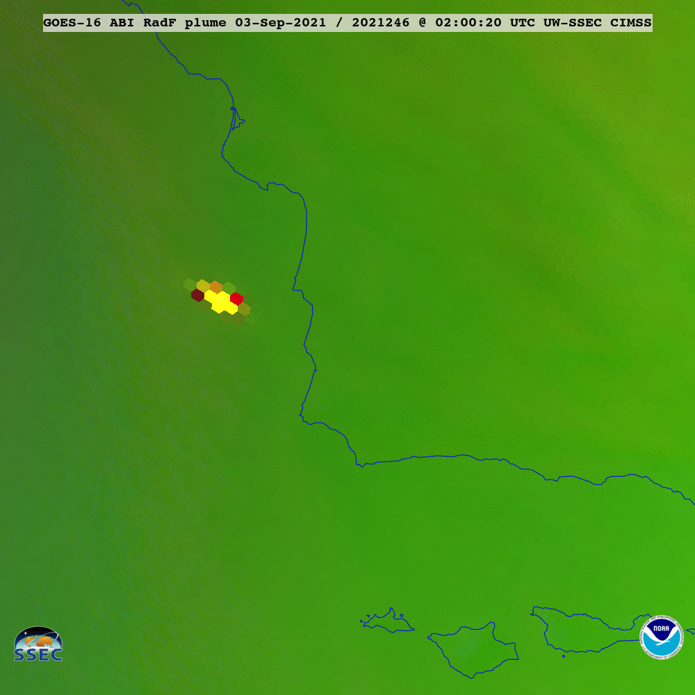
GOES-17 sees Landsat 9 Rocket Plume
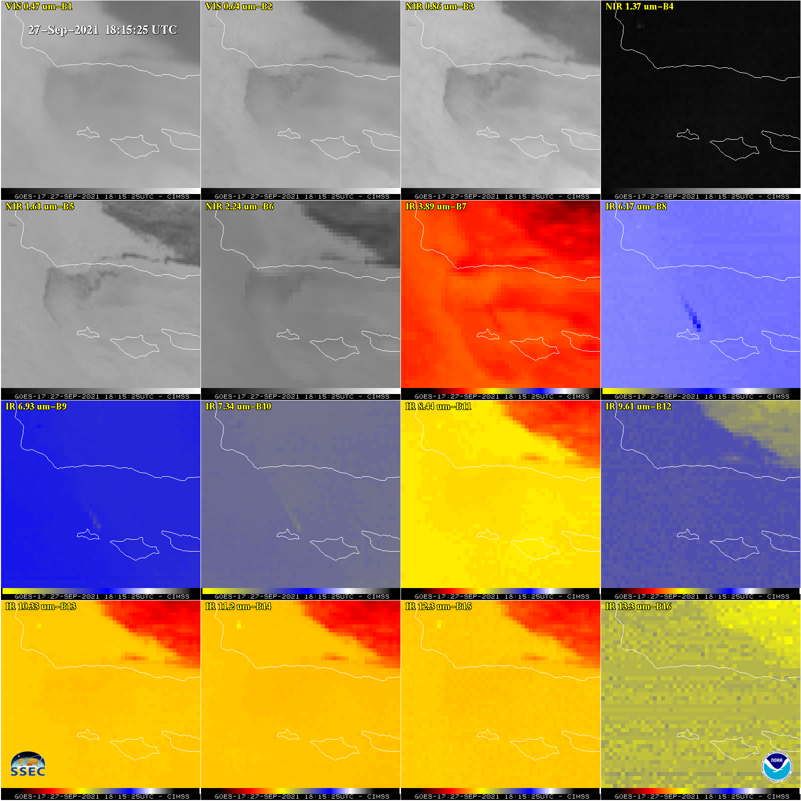
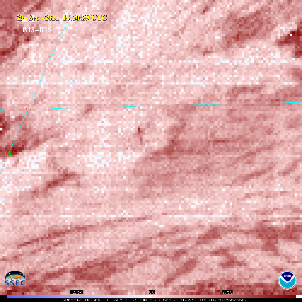
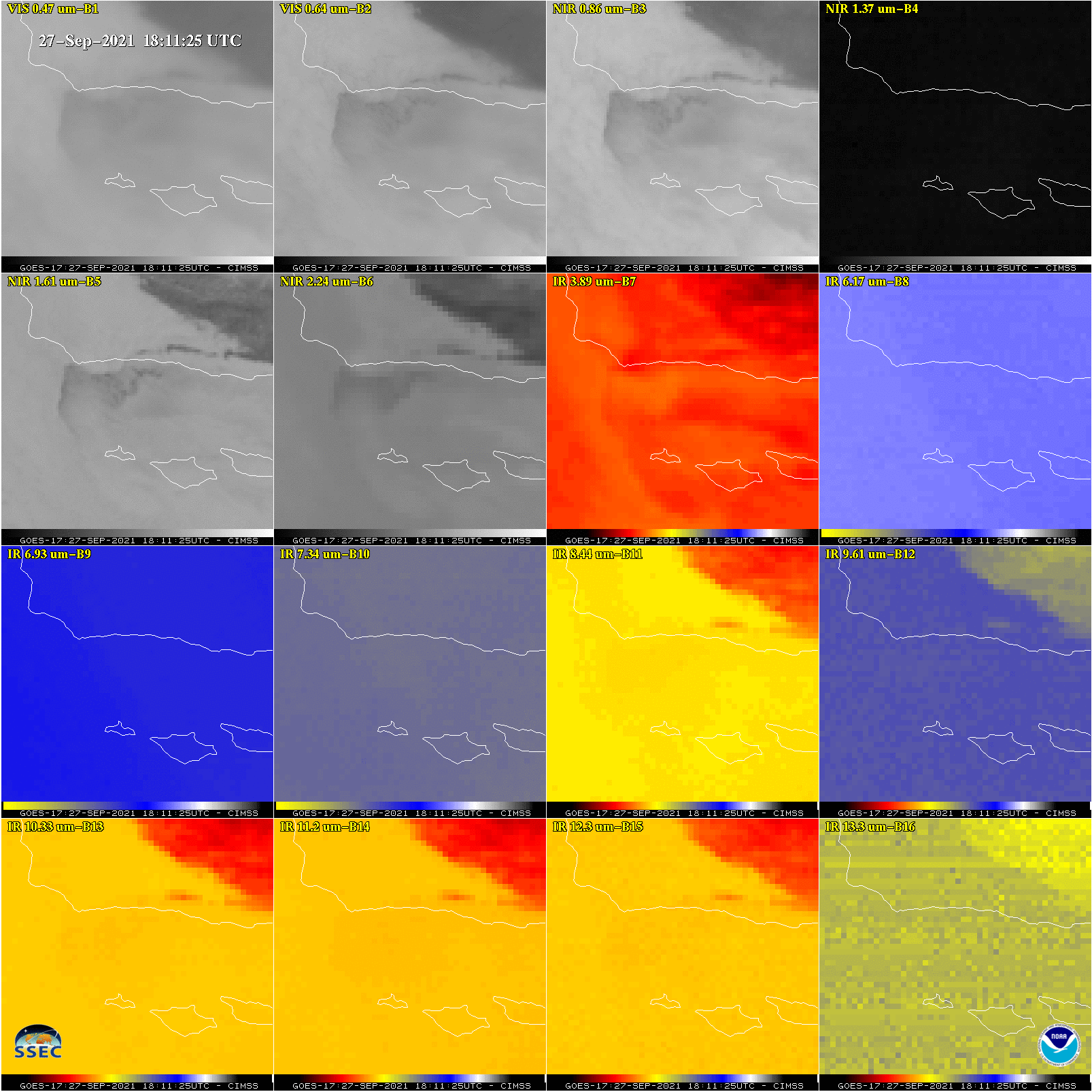
The ABI on NOAA‘s GOES-17 (GOES-West) was able to see the Landsat 9 rocket plume from Vandenberg Space Force base. The plume was most evident on ABI bands 7 (3.9 µm) and 8 (6.2 µm), using the mesoscale sector (1) on September 27, 2021.The same animation as above, but as an animated gif. The 18:15 UTC image. CONUS... Read More
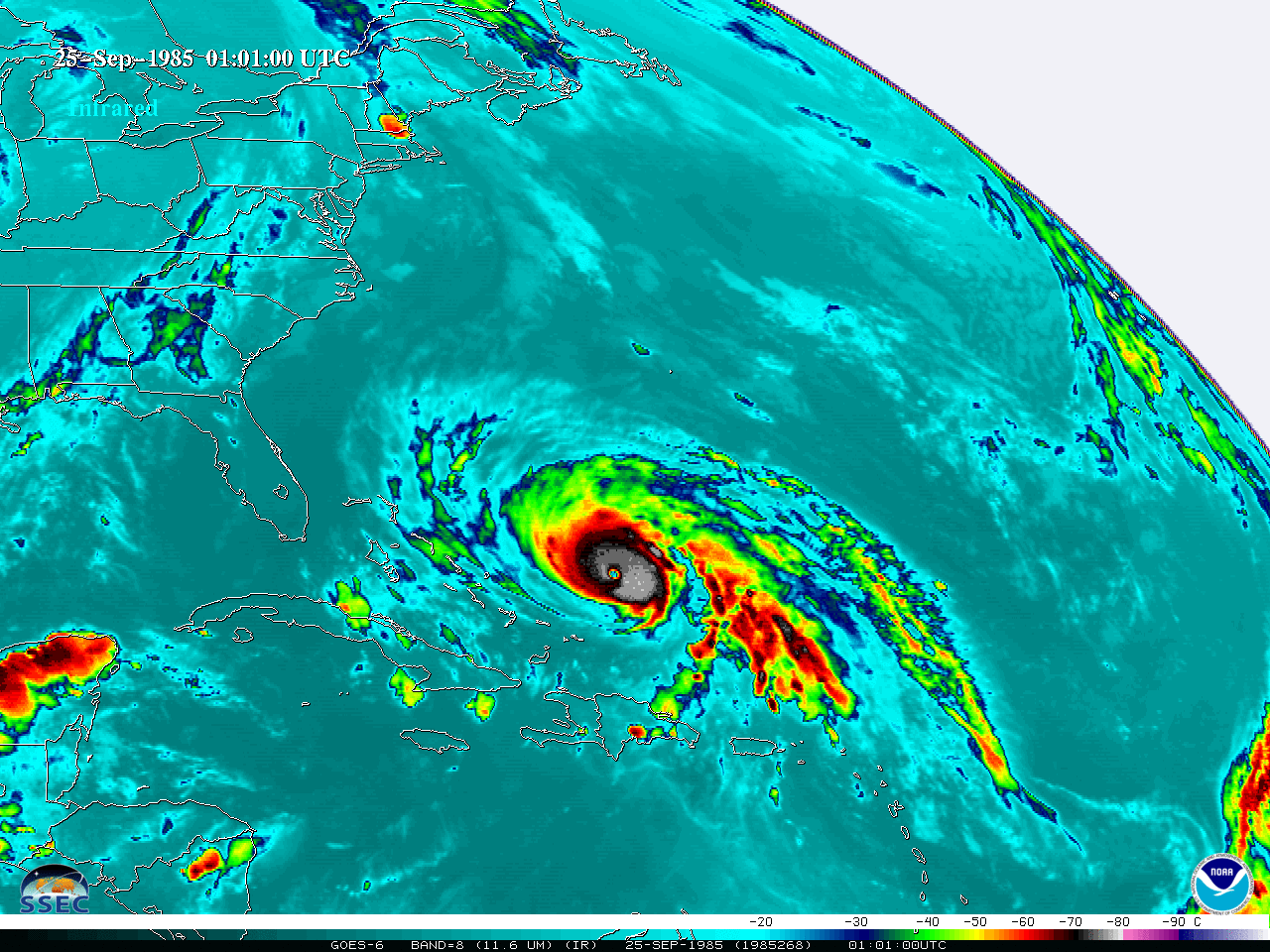
1985s Hurricane Gloria
Late September of 1985, saw the landfalls of Hurricane Gloria. More information. These NOAA GOES-6 animations are in both the infrared (window) and visible parts of the electromagnetic spectrum. InfraredA still infrared image is from September 25, 1985. Note that cold temperatures are colored yellow, red and black. VisibleA similar loop, as an... Read More
A GOES ABI View of the Firefly Aerospace’s Maiden Flight
NOAA‘s GOES-16 and GOES-17 ABI observed the Firefly Aerospace’s maiden flight from Vandenberg Air Force base. GOES-16 ABI 16-panel captured the before and after the anomaly (explosion approximately 2.5 minutes after launch). Loop: (animated gif) (mp4).The parallax effect is very evident comparing GOES-17 and GOES-16 ABI views. Loop: (animated gif) (mp4). What is shown is a multi-spectral “rocket plume” RGB. More about... Read More
