Derecho damage swath in southern Nebraska
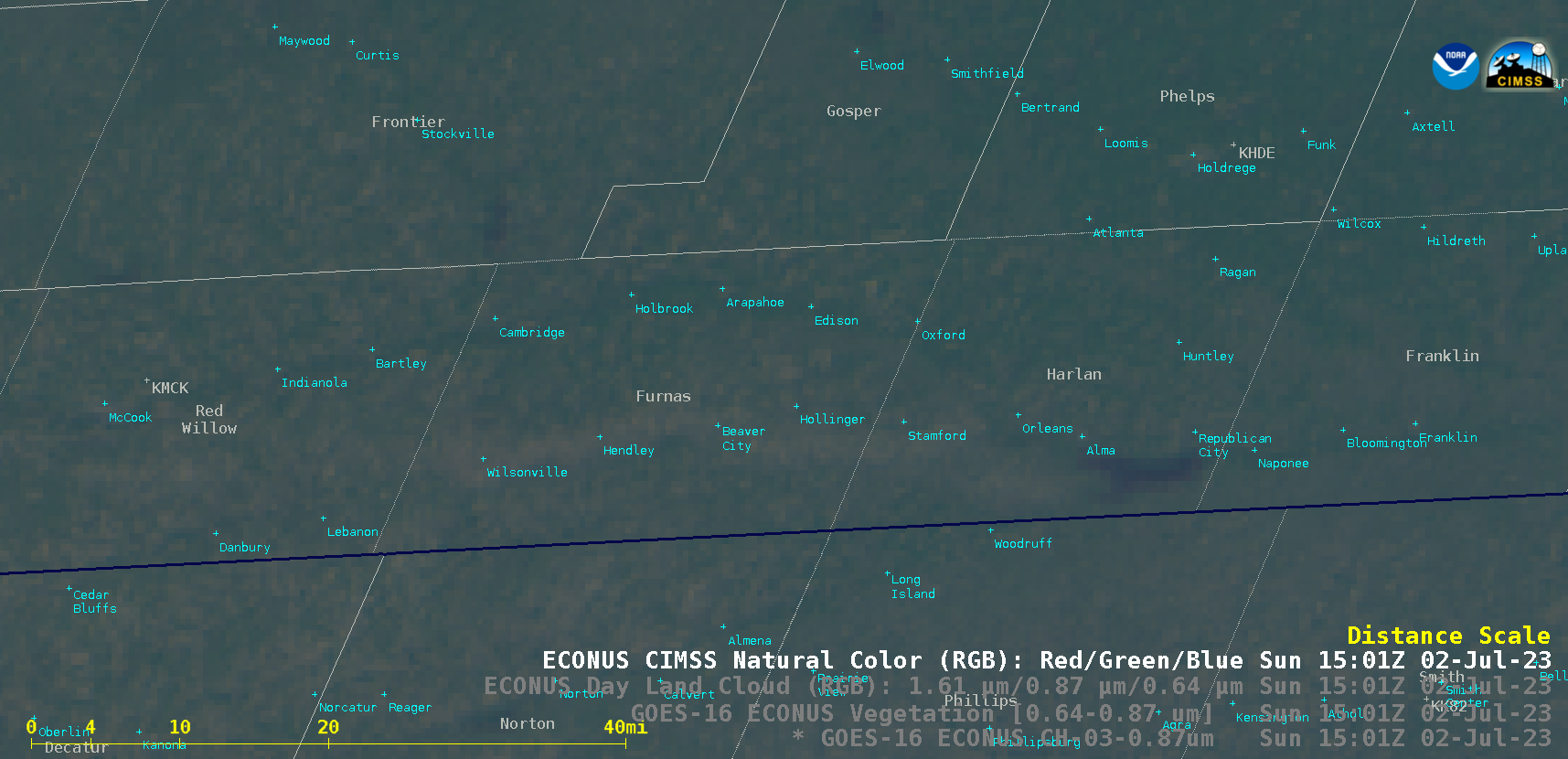
GOES-16 (GOES-East) Near-Infrared “Vegetation” (0.86 µm), Vegetation Channel Difference (0.64 µm – 0.86 µm), Day Land Cloud RGB and CIMSS Natural Color RGB images (above) showed a west-to-east oriented damage swath across Furnas and Harlan counties in far southern Nebraska n 02 July 2023 — which resulted from wind-driven large hail (wind gusts to 70 mph, hail up to... Read More
