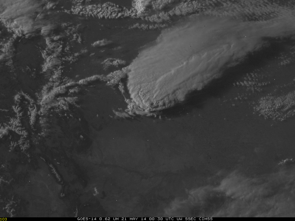
GOES-13 0.63 µm visible channel images (click to play animation)
McIDAS images of GOES-13 (GOES-East) 0.63 µm visible channel data (above; click image to play animation) showed the rapid growth of the smoke plume from the Slide Fire which was burning in Arizona on 21 May 2014.
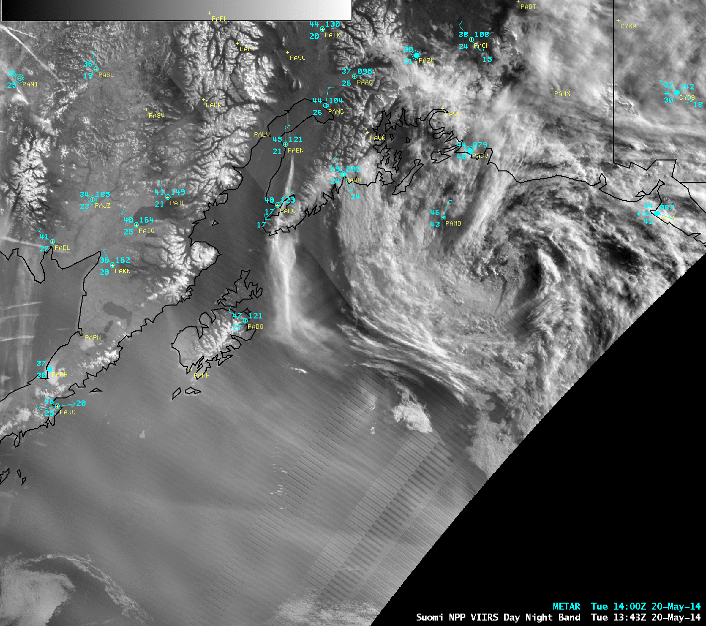
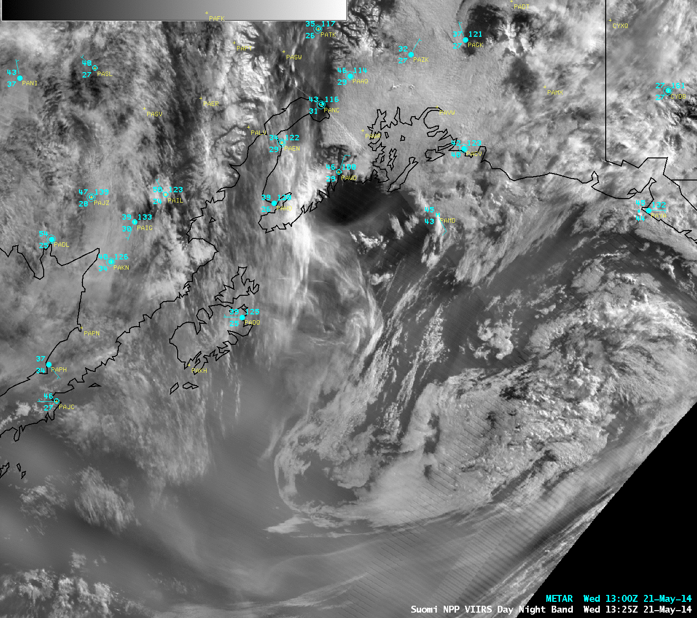
As the fire continued to burn into the night, a comparison of AWIPS images of 375-meter resolution Suomi NPP VIIRS 3.74 µm and 4-km resolution GOES-13 3.9 µm shortwave IR images (below) demonstrated the advantage of improved spatial resolution (and a more direct viewing angle) of the VIIRS data for determining both the intensity and the true location of the fire hot spots around 10 UTC or 4 am local time.
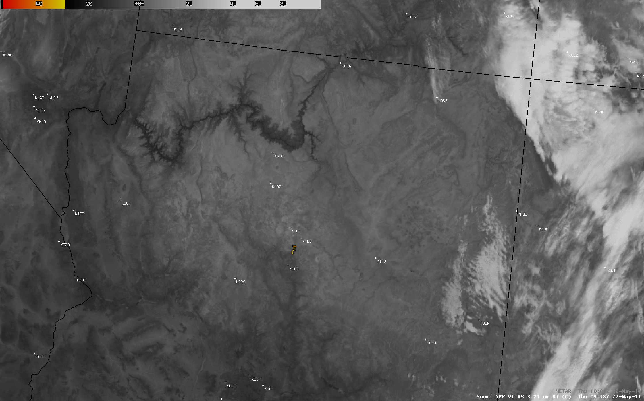
Suomi NPP VIIRS 3.74 µm and GOES-13 3.9 µm shortwave IR image comparison
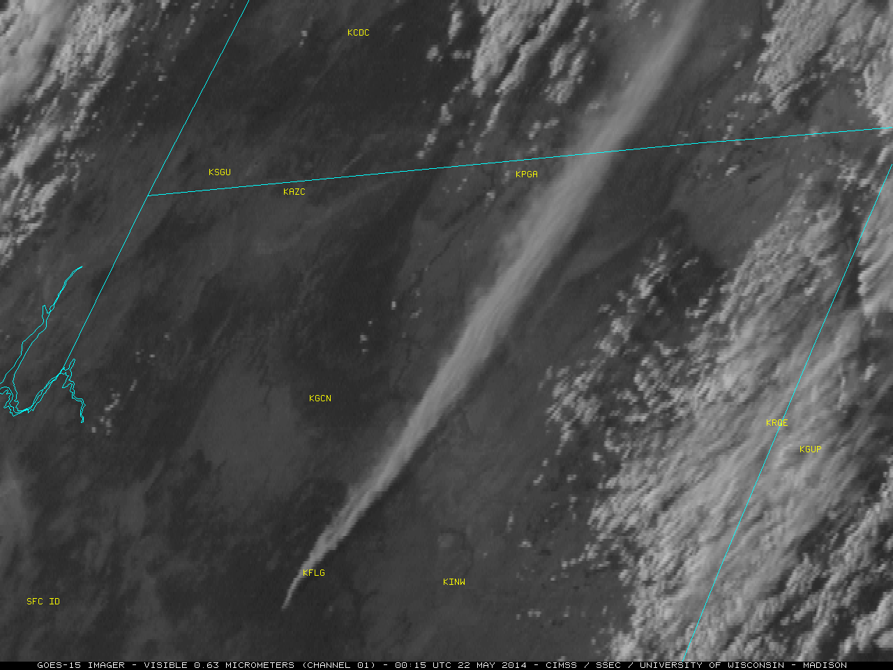
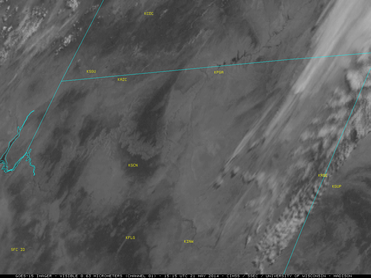
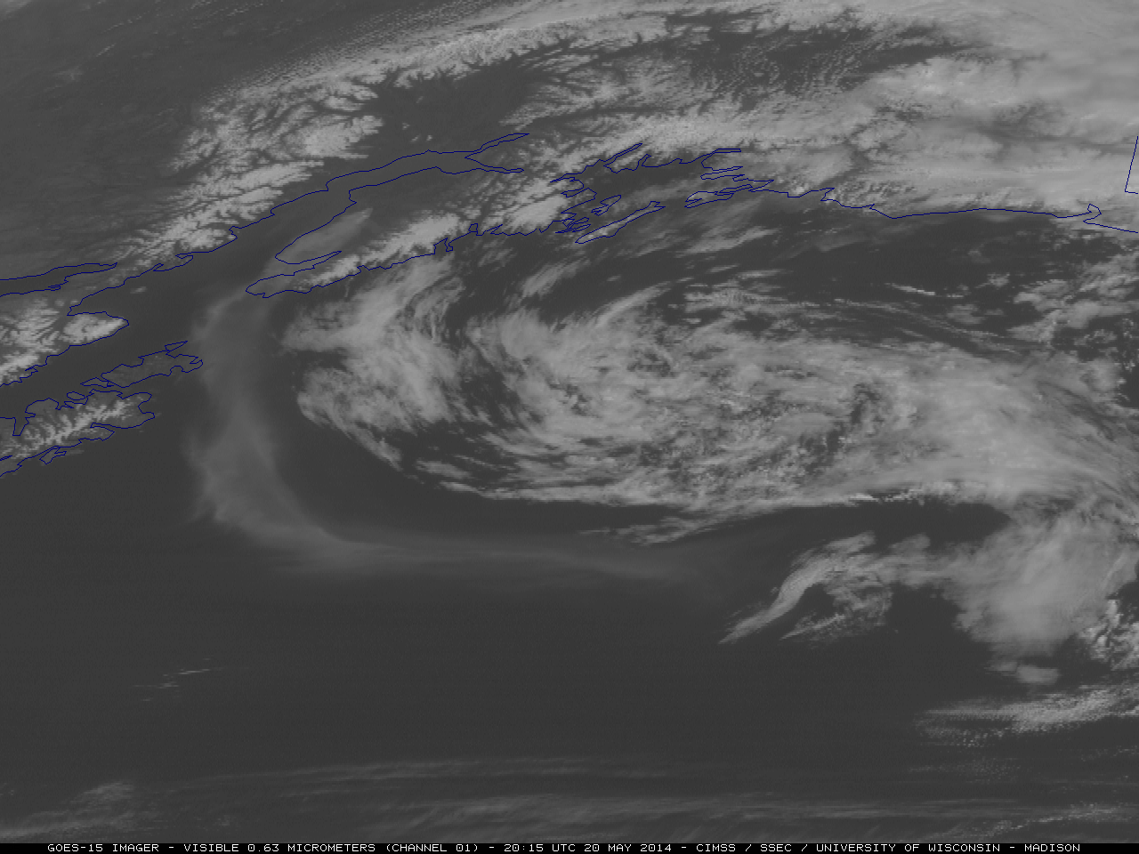
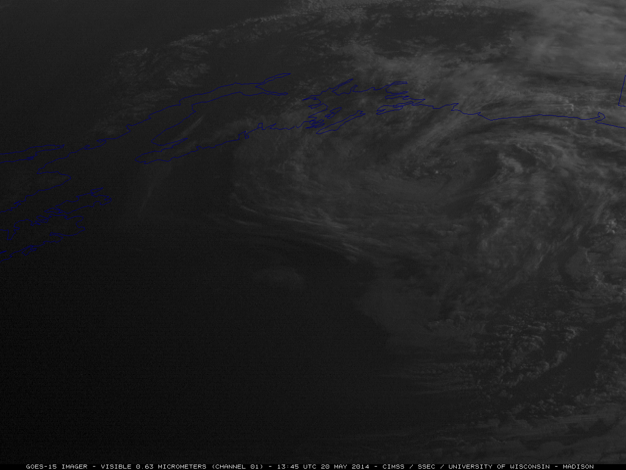
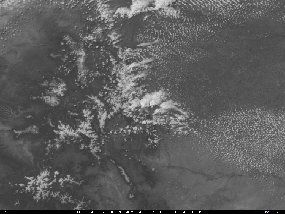
On the following morning, GOES-15 (GOES-West) 0.63 µm visible channel images (below; click to play animation) the smoke plume aloft and smoke which had settled into valleys could be seen during the early morning hours.

GOES-15 0.63 µm visible channel images (click to play animation)
Suomi NPP VIIRS true-color Red/Green/Blue (RGB) images from 21 May and 22 May are visualized using the SSEC RealEarth web map server (below). On 22 May, bands of high-altitude cirrus clouds were moving over the region, making the identification of the north/northwestward-moving smoke plume a bit more difficult.
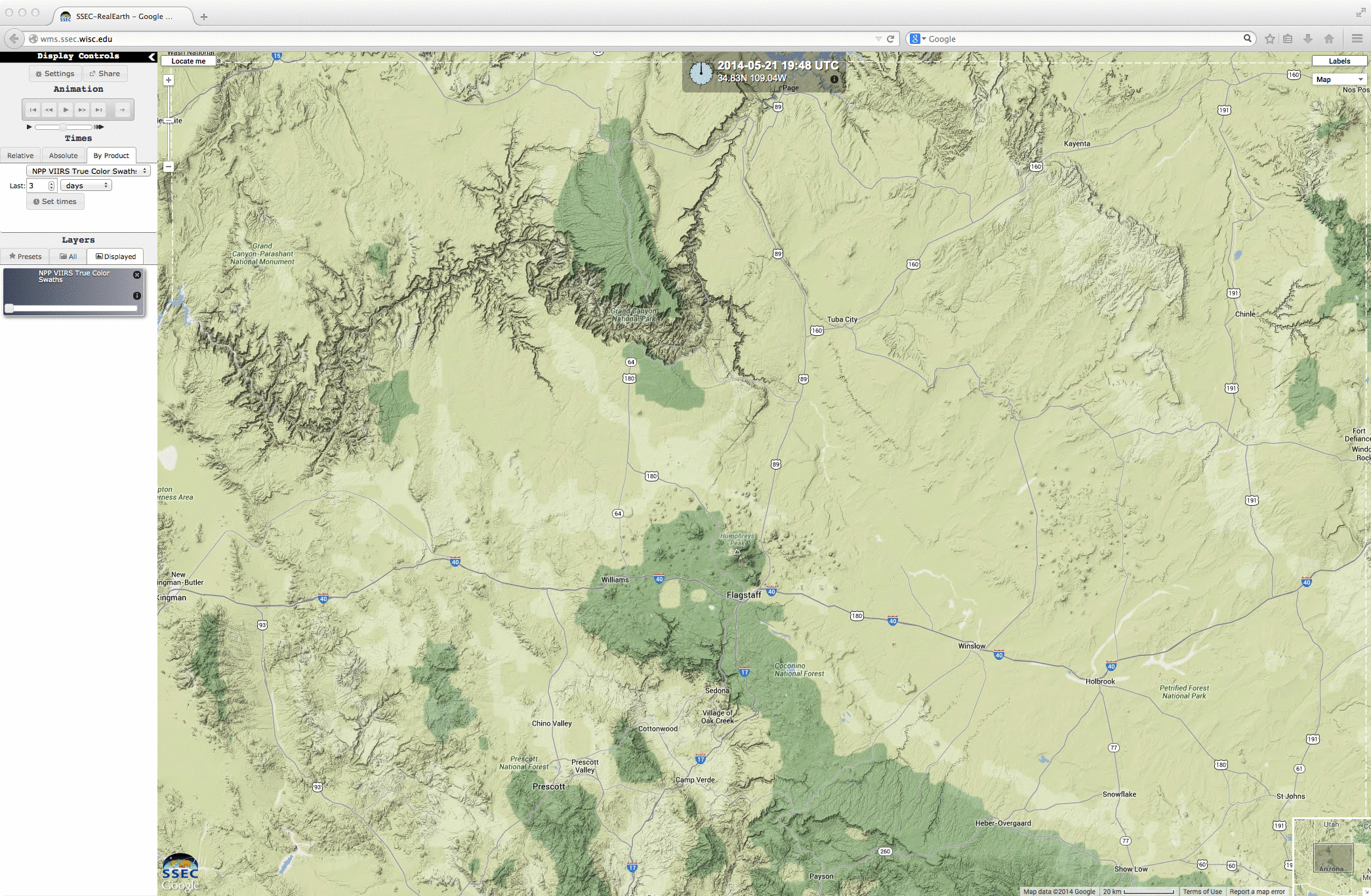
Suomi NPP VIIRS true-color RGB images (21 and 22 May)
View only this post Read Less

