Dry air over Florida
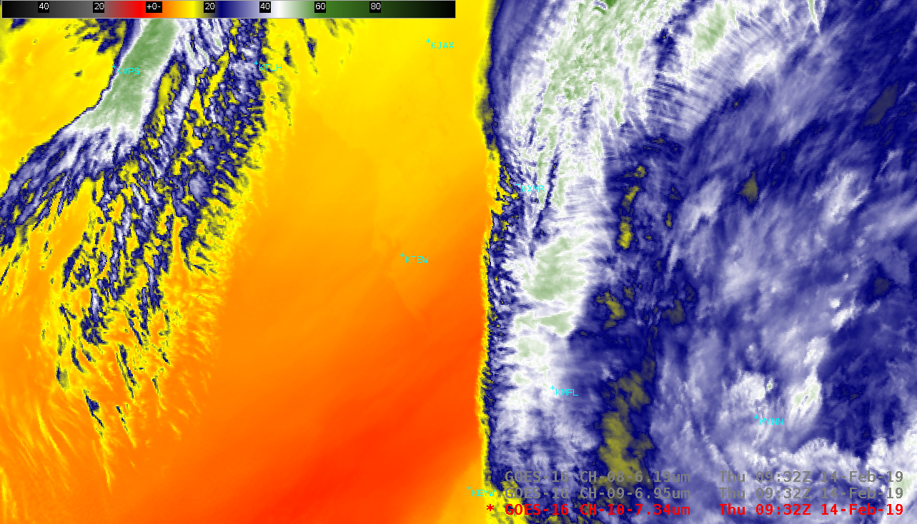
GOES-16 (GOES-East) Low-level Water Vapor (7.3 µm) images, with and without a map overlay (above), revealed that a portion of the western coastline of Florida around and north of Tampa (KTBW) could be seen on the Water Vapor imagery. Although more subtle, the St. Johns River south of Jacksonville (KJAX) and... Read More
